Skip to main content
South African
History Online
Politics & Society
Africa
Art & Culture
Biographies
Classroom
Places
Timelines
Archives
About Us
Cite This Page
Share
Print
Timeline Explorer
♥
Donate
South African History Online
Know your
history
Search SAHO
30,000+
Archive records
17,000+
Historical events
10,000+
Biographies
2,800+
Articles
Trending topics
Apartheid
Nelson Mandela
Freedom Charter
Sharpeville
Steve Biko
Anglo-Boer War
Mandela
Zulu
Browse by era
Pre-colonial
Colonial era
Apartheid era
Liberation struggle
Post-1994
World Wars
Explore by type
Politics & Society
Biographies
Timeline
Archives
Classroom
Recent searches
Menu
Politics & Society
Africa
Art & Culture
Biographies
Classroom
Places
Timelines
Archives
About Us
Home
Mountain
Sort by
Date
Order
Asc
Desc
Browse Content
Archives
Collections
Place
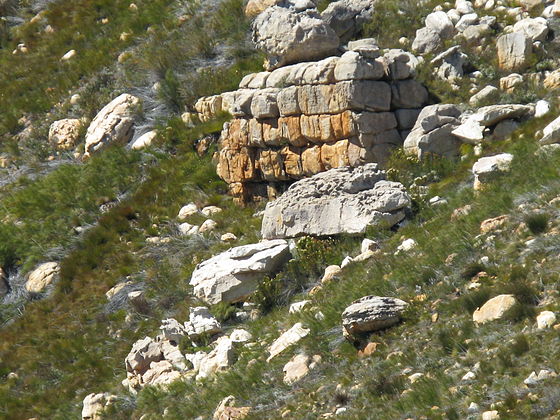
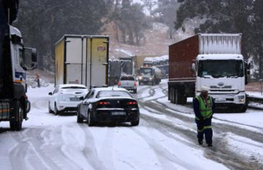
Agtersrivier and Kou Bokkeveld Pass , Western Cape
17 February 2025
River rising in the Koue Bokkeveld Mountains, (meaning Cold Buck Shrub Land Mountain Range) and flowing North West to jo...
Place
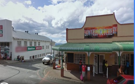
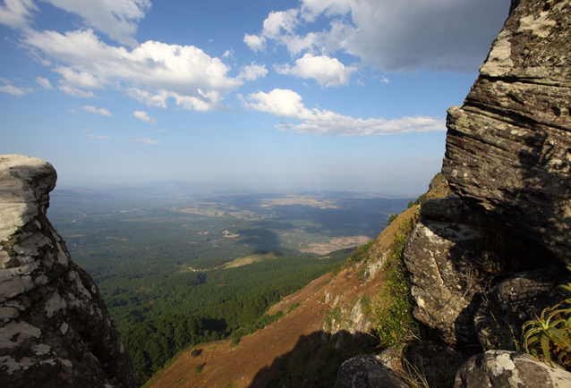
Barberton, Mpumalanga
20 November 2024
Barberton, 'The Gold Rush' Town of Mpumalanga
Place
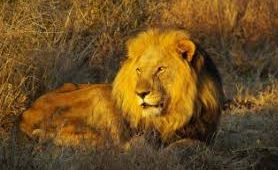
Little Lions Head, Mt. Above Llandudno
30 September 2024
Little Lions head is nestled in between Llandudno, Sandy Bay and Hout Bay and is basically a smaller version of Lions He...
Place
Kuboes, Northern Cape
25 September 2024
A great attraction close to Kuboes is 'Cornell's Kop'. This is a Hill that house the largest population of the threatene...
Place
Amathola/Amatole District Municipality
23 September 2024
The Amathola Mountain Range which is a subsidiary of the Winterberg Range, 15 km North-East of Alice, extending Westward...
Place
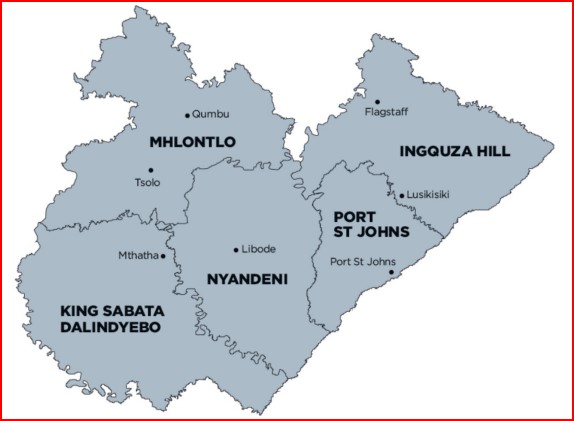
Oliver Tambo District Municipality
20 September 2024
The OR Tambo District Municipality (ORTDM) occupies the eastern coastal portion of the Eastern Cape Province, bordered b...
Place
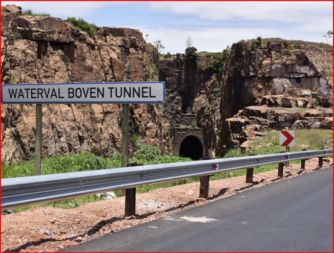
Emgwenya, formally Waterval Boven
16 September 2024
Emgwenya means place of the Crocodile. (Ngwenya, is an Nguni surname meaning the same thing!) Emgwenya, formally Waterva...
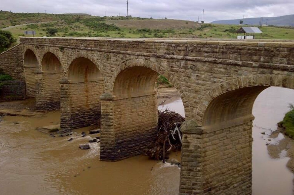
Place
Fetcani Pass, Eastern Cape
23 August 2024
There are many Mountain Passes in the Highlands of the Eastern Cape, and Fetcani Pass is no exception, functioning as a ...
Place
Makhonjwa Mountains, Barbeton
20 July 2024
Situated in North-Eastern South Africa, the site comprises 40% of the Barberton Greenstone Belt, one of the World’s olde...
Place
Jonkershoek
18 July 2024
This Nature Reserve is home to the majestic Jonkershoek Mountains and parts of the Jonkershoek valley, it is a UNESCO Wo...
Place
Entabeni Safari Conservancy, Waterberg
12 July 2024
Entabeni Safari Conservancy, rightfully dubbed “The Place of the Mountain”, is situated in the World Heritage Waterberg ...
Place
Hogsback, Eastern Cape
30 May 2024
It is situated high up on the Amathole mountains of the Eastern Cape Province of South Africa, and is surrounded by cent...
Place
Van Reenen's Pass, KwaZulu Natal
30 May 2024
Named after the little town of Van Reenen, which seems to stand guard at the top of this majestic Pass which winds its w...
Place
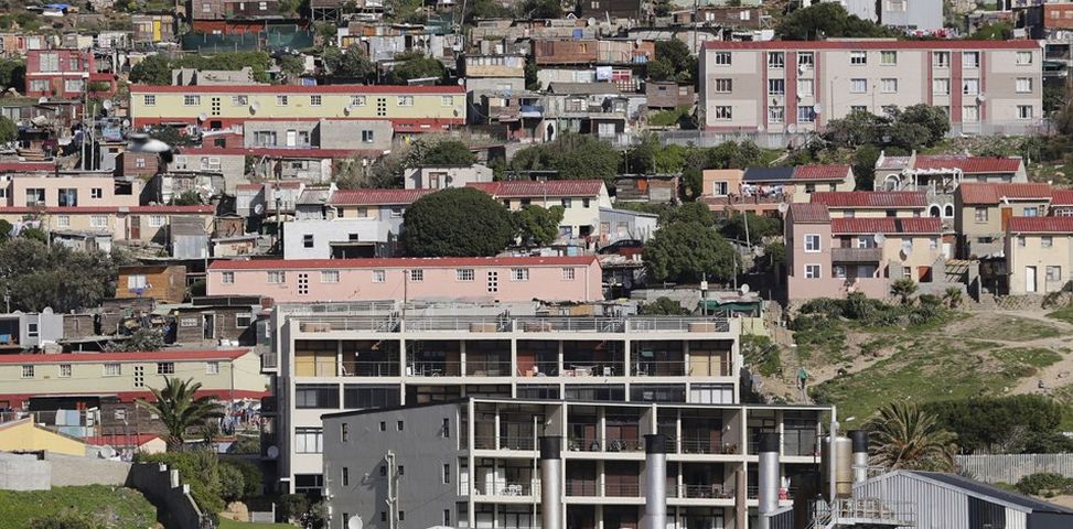
Hangberg, Hout Bay
30 May 2024
Hangberg is an Area in Hout Bay, Cape Town. It is situated on the Mountain slopes between Hout Bay Harbour and The Senti...
Place
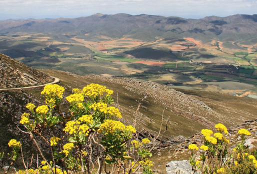
Piketberg
23 May 2024
The small, farming Town of Piketberg lies; at the foot of the Piketberg Mountain Range, surrounded by fields of wheat th...
Place
Magaliesberg Region, North West Province
3 May 2024
Go on a journey through the ecology and geology of one of the oldest Mountain ranges in the world – estimated to be 2,50...
Place
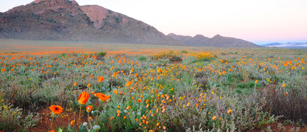
Kamieskroon
22 April 2024
Kamieskroon, in the Northern Cape province of South Africa. Situated just south of Springbok, Kamieskroon is set among t...
Place
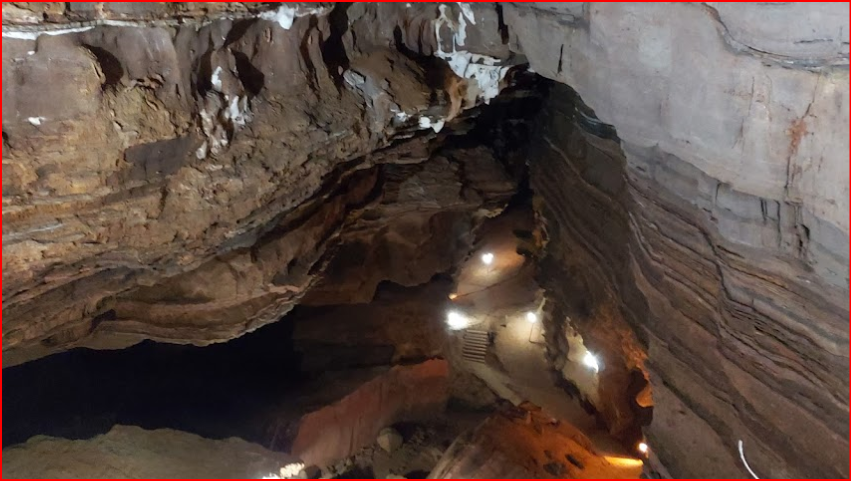
Echo Caves, Limpopo
16 March 2024
On the border of Limpopo and Mpumalanga, South Africa. The caves, today are declared a National Monument. They are found...
Place
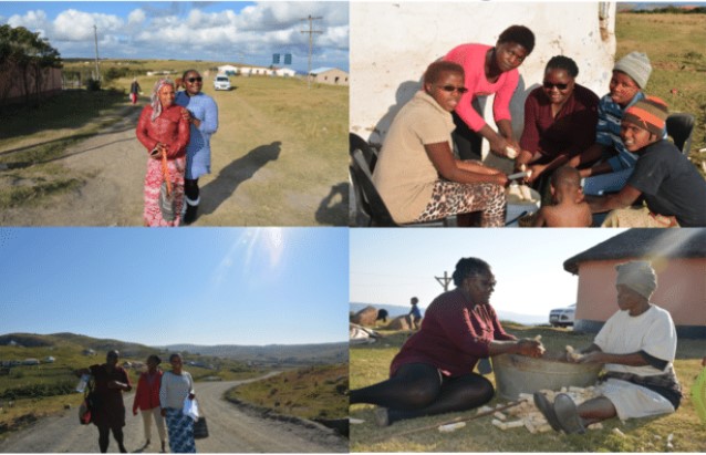
Lady Frere, Eastern Cape
14 February 2024
Originally named after the wife of Sir Henry Bartle Frere, the then Governor of the Cape, Lady Frere serves is the centr...
Place
Villiersdorp
30 December 2023
Lying in the centre of a flourishing apple-growing region, which also happens to produce grapes, onions, peaches and apr...
Place
Swellendam
29 December 2023
Founded in 1743 by the Dutch East India Company, it was named after the Cape Governor, Hendrik Swellengrebe and his wife...
Place
uKhahlamba Drakensberg Park
13 July 2023
UNESCO declared the uKhahlamba Drakensberg Park in KwaZulu Natal a World Heritage Site in 2000.
Place
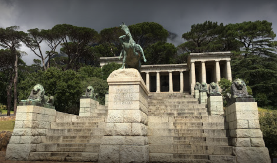
Rhodes Memorial, Vredehoek- Table Mountain
21 June 2023
Situated on the Northern slope of Table Mountain is a must see Memorial too Cecil John Rhodes. Behind the Memorial lies ...
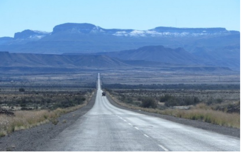
Place
Outeniqua Pass-N9
4 May 2023
The Outeniqua Pass is a relatively modern Pass, connecting the Coastal Town of George with Oudtshoorn and the Little Kar...
Place
Madikwa Game Reserve, North West
25 November 2022
Many of the Farms described by writer Herman Charles Bosman in his short stories no longer exist, quite a number having ...
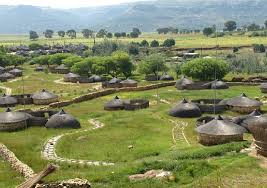
Place
Mogodi Village
7 July 2022
The Orrie Baragwanath Pass is a rough dirt road across the Wolkberg mountains in the scenically rich Lekgamaleetse Natur...
Place
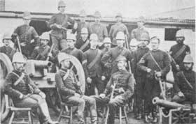
Amajuba, a Mountain in Natal
14 February 2022
Mountain 14 km South-West of Volksrust and 32 km North of Newcastle. The scene of a Historic Battle in the First Anglo-B...
Place
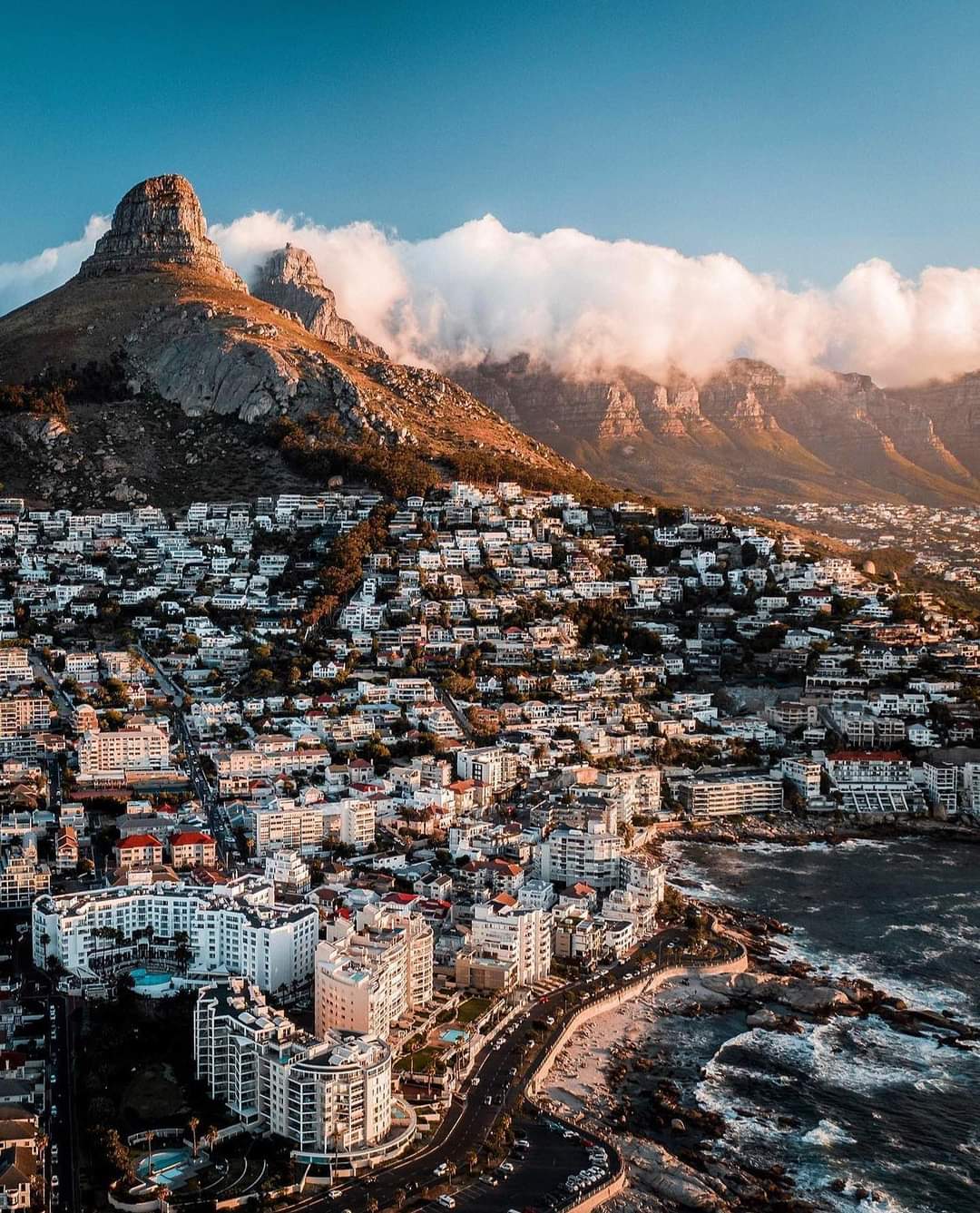
Fresnaye, Cape Town
23 December 2021
Fresnaye is situated between Signal Hill and Sea Point, a few kilometer's to the West of Cape Town's Central Business Di...
Place
Hobeni
3 December 2021
Hobeni is a Village in Mbhashe Local Municipality in the Eastern Cape province of South Africa. Ikhaya Loxolo, a commun...
Place
Amathole Mountain Region, Eastern Cape
21 October 2021
The Amatola Region is one of the most beautiful and diverse in the Eastern Cape. The Amathole's stretch into the hinterl...
Place
Cala, Eastern Cape
29 September 2021
A town in the Sakhisizwe Local Municipality, part of the Chris Hani District Municipality. With a population of around 1...
Place
Sada
24 August 2021
Sada (Xhosa word meaning “at last”), a Township about 30km North of Seymour and 3km South of Whittlesea, was first estab...
Place
Kranskop, KZN
14 July 2021
Kranskop features on: 'The Amble'; a route that principally follows Route 33 from Pietermaritzburg through the North Eas...
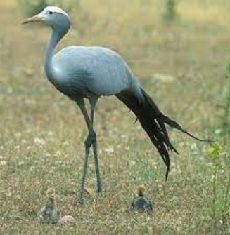
Place
Blue Crane Municipality, Sarah Baartman District- Eastern Cape
28 May 2021
It is the second-largest Municipality of seven in the District, accounting for 19% of the Geographical Area, and is an a...
Place
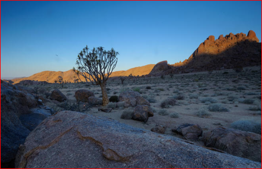
Legogote Mountain Region, Mpumalanga
13 May 2021
lowveld Legogote region, Mpumalanga Mountain 1 193m high, situated just South-East of eLundi and 12m North-East of White...
Place
Langkloof Valley, Eastern Cape
18 March 2021
Part of the Cape Fold Belt, the Langkloof Valley and Mountains are a short range of Mountains that serve as a link betwe...
Place
'Aba Mponjwana', Drakensberg Mountains
18 November 2020
Zulu name for ridge on the Mountains in Drakensberg, including such Peaks as Cathedral Peak, the Bell, the Outer Horn an...
Place
Thaba Bosiu, Lesotho
11 November 2020
Thaba Bosiu is a sandstone Plateau, at the historic and spiritual heart of the Sotho Kingdom, in Lesotho
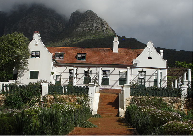
Place
Welgelegen Homestead, next to Mosterts Mill
5 October 2020
In 1657 the VoC granted land on the slopes of Table Mountain to a number of free burghers under the leadership of Steven...
Place
Chris Hani Municipal Region, Eastern Cape
23 September 2020
The Chris Hani municipal region lies at the heart of the Eastern Cape province of South Africa. It is the second largest...
First page
« First
Previous page
‹‹
Page
1
Current page
2
Page
3
Next page
››
Last page
Last »