The OR Tambo District Municipality (ORTDM) occupies the Eastern Coastal portion of the Eastern Cape Province, bordered by KwaZulu-Natal and by the Eastern Cape Districts of Amatole, Chris Hani, uKhahlamba and Alfred Nzo. The District extends over 12,141 km2 and occupies 9.52% of Provincial Land. The District includes moderate and high rainfall Areas, along its sub-tropical Coast, but also in pockets of Mountainous Areas. There is a diversity of Vegetation, from Grasslands and Thicket to Forests and Bushveld. The District is considered to have the richest Natural Resources and the most fertile Areas in the Country with good soils and climatic conditions.
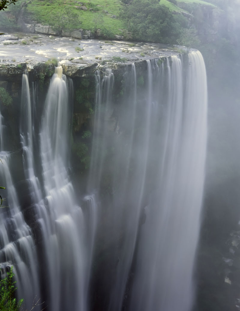
The District includes the bulk of the Wild Coast and is home to Luchaba Nature Reserve, next to Umtata Dam and a string of coastal Nature Reserves including Mkambati, Silaka, and Hluleka and Indigenous Forest Reserves, like MT Thesiger, Mt. Sullivan, Ntlopeni, Lotana, Mbotyi, Egosa, Ntsubane as well as a proclaimed Marine Reserve: 'Mkambati Marine Protected Area'.
The District has an Area covering 12 141 square kilometers. The main Economic Sectors are: 'Community Services; Trade; Finance; Agriculture; Transport; Manufacturing; Construction and Tourism.
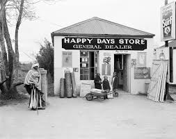
The OR Tambo District is named after Oliver Reginald Kaizana Tambo (27 October 1917 – 24 April 1993), who was a South African anti-apartheid politician and revolutionary who served as President of the African National Congress (ANC) from 1967 to 1991. The District covers about 80% of the former Transkei Magisterial Districts, the Homeland of the Xhosa during the Apartheid era which had Mthatha as the Capital. The District is also host to the Village of Mvezo, where the late former President Nelson Mandela was born into the Madiba clan of the Thembu royal family. The Nelson Mandela National Museum is situated in Mthatha.
The OR Tambo District Municipality, is formed by five Local Municipalities:
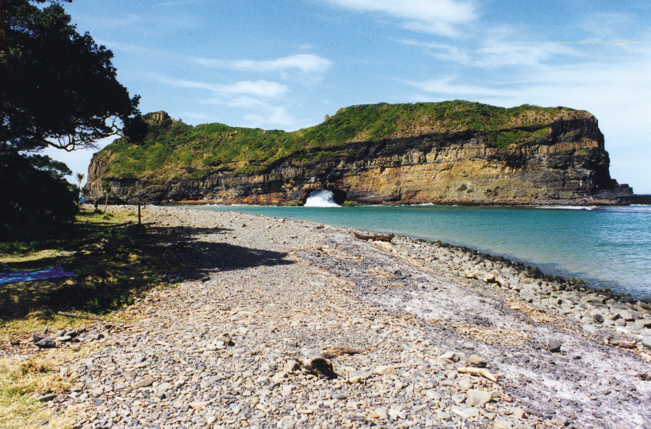
* Ingquza Hill Local Municipality is characterized by limited coastal settlements and widely dispersed settlements in traditional rural villages. It derives its name from the Mountain Range of the same name which transverses the Municipality and was the scene of the 1950 – 1962 Mpondo Revolt. The Municipal Area is furthermore characterized by large Forest Areas which are in close proximity to the Coastline, with a total of ten Rivers flowing through it. The Mkambati Nature Reserve is situated within the Coastal zone. This Local Municipality is believed to hold significant Tourism.
*King Sabata Dalindyebo (KSD) Local Municipality is named in tribute of the freedom fighter and King of the Aba Thembu nation who was forced to exile as result of his resistance to apartheid and the Bantustan mode of governance. He died in exile in 1986 and reburied at the Great Place of Bumbane outside Mthatha in 1989.
* Nyandeni Local Municipality derives its name from the isiXhosa word “inyanda”, which is a bundle of wood that is carried by Pondo women on their heads for making a cooking fire. The Municipality derives its name from an old story of how the King of Eastern Pondoland, Ndamase, crossed the great Umzimvubu River.
* Port St Johns Local Municipality derives its name from Portuguese Sao Joao, presumably named either after a ship which was shipwrecked near Port Edward, 21 of the 600 soldiers survived eventually finding their way to Mozambique through the coastline. Prior to shipwrecking the ship has coasted via the Area with its Mountain which also coincidentally has an outline of the face of an apostle. The Area was settled in about 1884.
* Mhlontlo Local Municipality is named in honour of a chief of the Pondomise people who was stripped of his chieftainship by the Government of the time because the Pondomise people killed the magistrate of Qumbu. The Municipality lies on the North-East side of the Eastern Cape Provincial Boundary alongside the N2 route between Mthatha and Mt Frere, and the R396 between Tsolo and Maclear. It shares Boundaries with the Umzimvubu Local Municipality to the North,
King Sabata Dalindyebo Local Municipality to the South, Nyandeni Local Municipality to the East and Elundini Local Municipality to the West. At 2 880 km2 it makes up a quarter of the District’s Geographical Area.