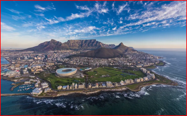
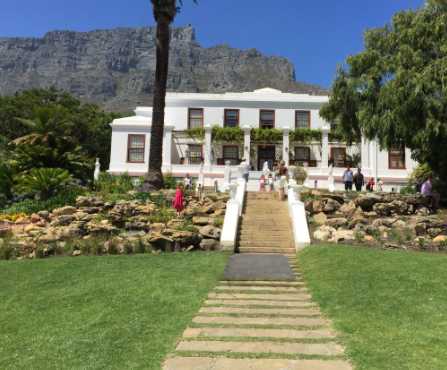
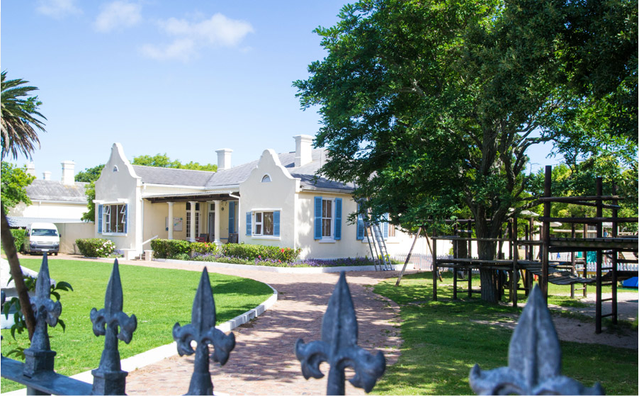
In 1657 the VoC granted land on the slopes of Table Mountain to a number of free burghers under the leadership of Steven Bothma, who then established a Farm he named Welgelegen. After his death the estate changed hands a number of times until 1756, when it became the property of Jacob van Reenen. The original house was erected during the 18th century and was subsequently altered by Herbert Baker who rebuilt it in a pseudo-Cape Dutch style. Subsequently it became the home of the Currey family, and was declared a National Monument under old NMC legislation on 22 August 1980. The gateway giving access to the property was probably built at the end of the 18th century by either Jacob van Reenen or his son Dirk.
Today it forms part of the Property of the University of Cape Town. Close to a number of the UCT Residencies and various Sporting Facilities as well as the Mowbray Bowls Club. This Area is steeped with Students and Tradition. This Area has a noticeable Landscaped Garden, filled with an abundance of Agapanthus. The Garden set against the backdrop of the Cape Dutch style Homestead and stone retaining Wall is circular with stone Paths forming the shape of spokes of a wheel. The Garden is set low in the Ground and includes a type of drainage system where a stream of water flows into an old-school drain, also resembling the shape of a wheel built into the side of the brick wall. In the Centre of the Garden is a metal Garden Pergola waiting for creepers to grow and form a shaded focal point. Around this are well maintained lawns perfect for a picnic on a warm Summer’s day. The Gardens adjacent in front of the House are well maintained and thriving with an abundance of Rose and Rosemary Bushes, among others. Parking is available nearby, although can be tricky during the UCT semester as Campus Parking is always a challenge.
It is probable therefore that many important political discussions took place within its walls. Guests included Paul Kruger, Piet Joubert and Dr Jorissen. It was declared a National Monument under old NMC legislation on 31 March 1944.