Skip to main content
South African History Online
Towards a People's History
Politics & Society
Africa
Art & Culture
Biographies
Classroom
Places
Timelines
Archives
About Us
Tools
Cite This Page
Share
Print
Advanced Search
Timeline Explorer
✦
Contribute
Menu
Politics & Society
Africa
Art & Culture
Biographies
Classroom
Places
Timelines
Archives
About Us
✦
Contribute to SAHO
Home
Northern Cape
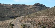
Namaqua Coastal Route
Richtersveld Cultural and Botanical Landscape, Northern Cape
The Owl House
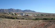
Aogutoas, Village near Port Nolloth
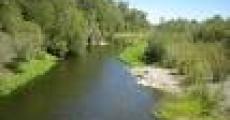
Annis River, near Kuboes in the Northern Cape
Anniskop, Hill in Karoo-Namibia
Annisfontein, a Spring and Outspan in Richtersveld- Northern Cape
Anegas Range a Mountain in the Northern Cape
Anagob, a Mountain Peak in Northern Cape
Alexander Bay, Namaqualand
Albaster Klip, Northern Cape
Aha Hills, Northern Cape Border With Namibia and Botswana
Achab se Berg, Northern Cape
Abiquasput, Northern Cape
Brandvlei, Karoo
'Abbervlaack', a Railway Station in the Northern Cape
Abbasas Mountains, Namaqualand
'Abbakwap' a Mountain were the Fish and Orange Rivers Merge
Abbaheigaskop, Northern Cape
Abaxab, a Railway Siding in the Northern Cape
Abansuip, Hill in the Northern Cape
Abachoreb, Northern Cape
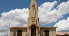
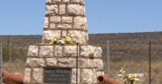
World War Cenotaph
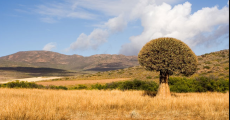
Northern Cape
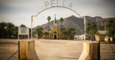
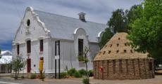
Pella
Niewoudtville
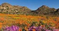
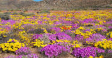
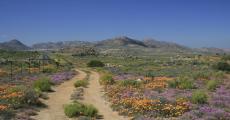
Namaqualand, Flower Route
Kimberley, Northern Cape
Griquatown
Griqualand West
Garies
Gordonia Division
Fraserburg
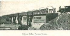
Fourteen Streams
Colesberg, Northern Cape
Concordia
Carnarvon District, Karoo
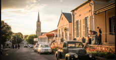
Richmond
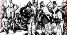
Republic of Griqualand West or the Digger's Republic
Clearwater, Now Known as Griquastad- in the Northern Cape
First page
« First
Previous page
‹‹
Page
1
Current page
2
Cite This Page
APA (7th edition)
Copy APA Citation
Oxford (Footnote style)
Copy Oxford Citation
Harvard
Copy Harvard Citation
Referencing Resources for Historical Research
Share This Page
Share this page with your friends and colleagues:
Copied to clipboard