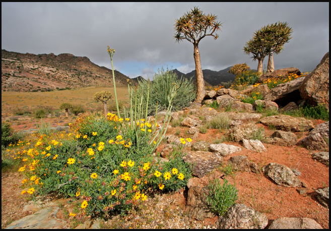
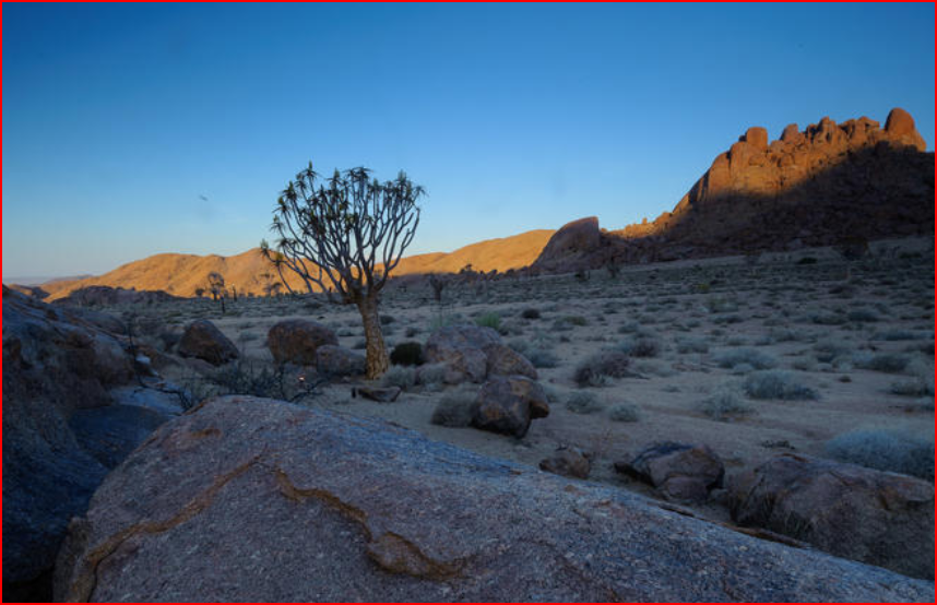
A Spring and Outspan in the Richtersveld with Geographical History dating back Millions of Years! A Spring may be the result of Karst Topography where surface water has infiltrated the Earth's surface (recharge area), becoming part of the area groundwater. The groundwater then travels through a network of cracks and fissure—openings ranging from inter-granular spaces to large Caves. The water eventually emerges from below the surface, in the form of a Spring.
The forcing of the Spring to the surface can be the result of a confined aquifer in which the recharge Area of the Spring water table rests at a higher elevation than that of the outlet. Spring water forced to the surface by elevated sources are artesian wells. This is possible even if the outlet is in the form of a 300-foot-deep (91 m) cave. In this case the cave is used like a hose by the higher elevated recharge area of groundwater to exit through the lower elevation opening. Still other Springs are the result of pressure from an underground source in the earth, in the form of volcanic activity. The result can be water at elevated temperature such as a hot Spring.