At the end of a road eight kilometres from the Village of Hilton, on an Escarpment above Pietermaritzburg, are large wrought-iron gates! Behind these is: 'Hilton College'.
Published 4 April 2025Updated 2 October 2025
At the end of a road eight kilometres from the Village of Hilton, on an Escarpment above Pietermaritzburg, are large wrought-iron gates! Behind these is: 'Hilton College'.
On 3 March 1874, the Pietermaritzburg Botanical Garden was founded. It was run by the newly formed Pietermaritzburg Botanical Society until 1969, when it was taken over by the: 'National Botanic Gardens of South Africa'. In 1991, the Botanical Research Institute and the National Botanical Gardens combined to form the National Botanical Institute. The NBI is now the South African National Biodiversity Institute (SANBI) – the present custodians of the garden.
The Thousand Hills experience is to KwaZulu-Natal what the Garden Route is to the Cape. It is an area of great peace and tranquillity, affirmed by the fact that, many artists have taken up residence in the region.
The Msunduzi River flows through the center of Pietermaritzburg, the Capital of KwaZulu-Natal and is the namesake of the Msunduzi Municipality, where the City is located.
Piet Retief was one of the leaders of the Boers during the Great Trek in the 1830's. The Boers were mostly descendants of early Dutch settlers.
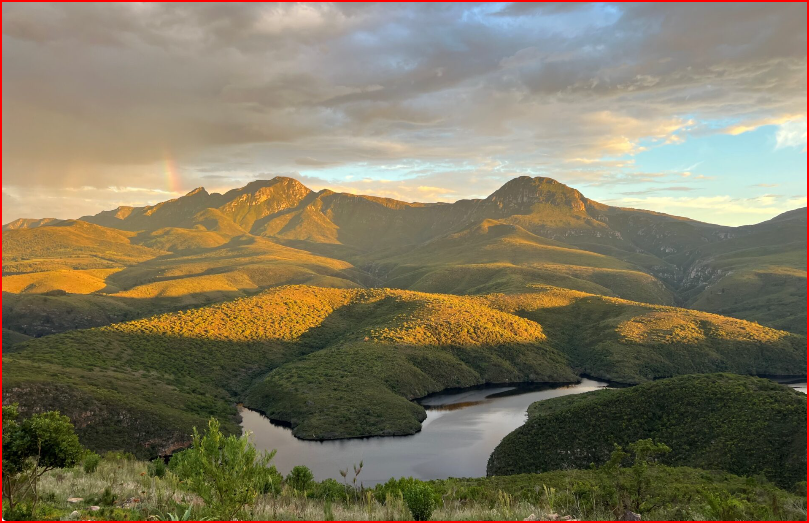
The district takes its name from the mountain of the same name, which is Afrikaans for: "clear mountain". This is referring to the way in which the western side of the mountain is illuminated in the evenings and which culminates at a height of 1137 metres, at The Dome. The Helderberg Mountain is part of the Hottentots-Holland mountain range, in the Western Cape, South Africa. The Helderberg Nature Reserve is situated on the slopes, of the beautiful Helderberg Mountain.
The Ueckermann family features prominently in the history of Heidelberg, Gauteng. Heinrich Julius Friedrich Christian Ueckermann (1827-1883) is widely regarded as the founder of the town. He established a trading store on the farm; 'Langlaagte'. It was at his initiative that the town was laid out and proclaimed in 1866.
COLLABORATION OF PLACES WITH MUSEUMS AND GALLERIES.
SOUTH AFRICAN HISTORY ONLINE (SAHO)
UNIVERSITY OF PRETORIA MUSEUMS (UP MUSEUMS)
Faure Marine Drive, which eventually becomes Clarence Drive, is a stretch of scenic coastal road leading to Gordon’s Bay. This is one of the best scenic drives to view Southern Right Whales.
The area that the West Coast District Municipality (WCDM) serves stretches from the border of Cape Town Metropole to the border of the Northern Cape. The region covers a total area of 31 099 km². Statistics South Africa (Census 2022) estimated the population of the entire West Coast region is at: '497 394 people'.