Ntongela Masilela

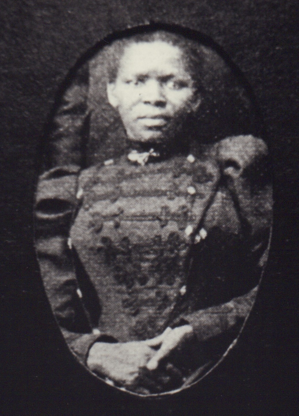
Professor Ntongela Masilela was born on 9 December 1948 in Orlando West, Soweto, Transvaal Province (now Gauteng), the eldest son of Florence Vuyiswa Masilela and Dr Albert Mahlathini Magija Masilela. His grandparents strongly believed in education and his father was one of the first graduates in his village in the Northern Transvaal (now known as Limpopo Province).

Life Orientation Classroom

History in Images

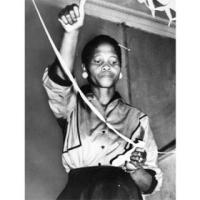
One of the organisers of the 1956 Women's March, Lilian Ngoyi
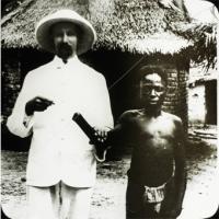
A young victim of the atrocities committed by Belgium in the Congo stands next to a missionary. 
Image Source:
www.wikimedia.org
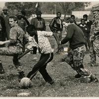
Riot police play a game of soccer with youths in Nyanga on 27 August 1976. Photo by John Paisley
Image Source:
www.lib.uct.ac.za
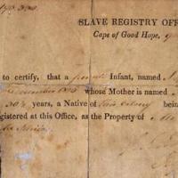
A certificate of slavery for an infant named Sophie, dated 1827 Cape of Good Hope. 
Image Source:
www.theculturetrip.com
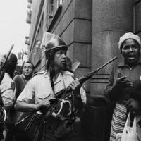
Riot police attempt to block the way of workers leaving a May Day meeting at Khotso House in Johannesburg in May 1985. 
Image Source:
www.digitalcollections.lib.uct.ac.za
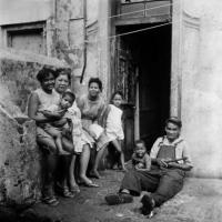
A family sits outside the front door of their District Six home in Cape Town in the 1970s, prior to their forced removal. Photograph by Jansje Wissema. 
Image Source:
www.digitalcollections.lib.uct.ac.za

Liesbeek River and Park, Cape Town

http://fol.org.za/wp-content/uploads/cropped-HEader.jpg
Liesbeek River is only 9 km long and arises as several streams off the Eastern slopes of Table Mountain above Kirstenbosch, winding through Bishopscourt, Rondebosch, Newlands, Rosebank, Mowbray and Observatory, eventually emptying into Table Bay at Paarden Eiland. The Upper Liesbeek River Garden is in Bishopscourt Village, alongside the river on land regarded as 'undeveloped public open space'. It is funded and maintained by the Bishopscourt Residents' Association, City Council, personal trusts, and local estate agents.

Pauline Podbrey

Pessel Podbrez (name given at birth, later changed to Pauline) was born in Kovna, Lithuania in 1922, the eldest of two children. In 1933, the family immigrated to Durban, Natal (now KwaZulu-Natal – KZN), South Africa, to join her father, who had been there since 1929.

Maluti-a-Phofung Municipality, Free State

google maps
The Maluti-A-Phofung Local Municipality is a Category B Municipality situated within the Thabo Mofutsanyana District in the Free State Province. It is bordered by Phumelela in the North, the Kingdom of Lesotho in the South, the KwaZulu-Natal Province in the East, and Dihlabeng in the West. It is one of the six Municipalities that make up the district. Maluti-A-Phofung Municipality was established on 5 December 2000. It covers an area of 4 338 km²! It includes in its jurisdiction the Cities and Towns of Harrismith, Kestell, Phuthaditjhaba. The Main Economic Sector is Agriculture!

Sedibeng District Municipality

google maps
The Sedibeng District Municipality is a Category C municipality situated on the Southern tip of the Gauteng Province and strategically located on the border of three other Provinces, namely: Free State; North West and Mpumalanga. The Municipality is situated on the banks of the Vaal River and Vaal Dam, covering the Area formerly known as, the Vaal Triangle. The Municipality is in close proximity to Johannesburg along the scenic Vaal, Klip and Suikerbos Rivers.