
Place record
Marcus Island Marine Protected Area

The Cape Gannets on Marcus Island
- Coordinates
- 17.5800, -33.0200
- Updated
- 7 Jan 2020
The Cape Gannets on Marcus Island
Location Map
Marcus Island Marine Protected Area
How we know this
- 01https://www.capenature.co.za/care-for-nature/conservation-in-action/marine-protected-areas/ https://www.protectedplanet.net/marcus-island-marine-protected-area-marine-protected-area http://www.mpatlas.org/mpa/sites/67704835/ http://www.photodestination.co.za/marine-protected-areas-of-the-west-coast-national-park.html
Last updated · 7 Jan 2020
South African History Online. (2020, January 6). Marcus Island Marine Protected Area. South African History Online. https://sahistory.org.za/ref/P-0149838
South African History Online (2020) 'Marcus Island Marine Protected Area', South African History Online, 6 January. Available at: https://sahistory.org.za/ref/P-0149838 (Accessed: 13 October 2026).
South African History Online, Marcus Island Marine Protected Area [website], https://sahistory.org.za/ref/P-0149838, (accessed 13 October 2026).
"Marcus Island Marine Protected Area." South African History Online, 6 Jan. 2020, https://sahistory.org.za/ref/P-0149838. Accessed 13 Oct. 2026.
South African History Online. "Marcus Island Marine Protected Area." South African History Online. January 6, 2020. https://sahistory.org.za/ref/P-0149838.
Further reading
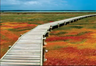 Place
Place
West Coast National Park, Saldanha Bay
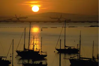 Place
Place
Saldanha Bay
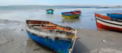 Place
Place
Strandfontein
 Place
Place
Goedverwacht, West Coast of Cape Town
 Place
Place
West Coast National Park and Postberg Reserve
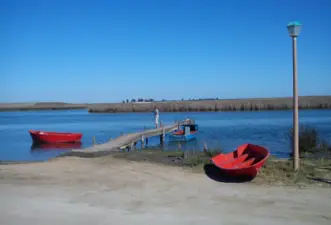 Place
Place
Laaiplek, Velddrif, West Coast of Cape Town
SAHO is free because readers fund it. Donate →