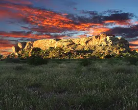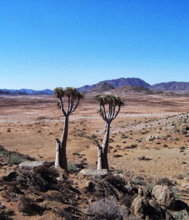
The 1600 square kilometers in area is the Richtersveld Cultural and Botanical Landscape. This is a dramatic Mountainous Desert in the Northern Cape of South Africa. Constitutes a Cultural Landscape Communally owned and managed! This property sustains the semi-nomadic pastoral livelihood of the Nama people, reflecting seasonal patterns that may have persisted for as much as two Millennia, in Southern Africa. It is the only Area where the Nama still construct Portable Houses- 'Haru Oms'. The Property includes a seasonal migrations and grazing grounds, stockpots (bases used by the herders as they move with their herds of sheep and cattle on a seasonal basis) and Nama, rush mat houses. (Which are small hemispherical portable structures, consisting of a wooden frame of intersecting wooden hoops, covered over with fine mats of braided local rushes). The pastoralists inhabiting this property collect medicinal plants, that have a strong oral tradition associated with different places and attributes of the Landscape.
Recently inscribed as the eighth, World Heritage Site in South Africa, the Richtersveld Cultural and Botanical Landscape is a remarkable Mountainous Desert in the North-West of the country that is uniquely owned and managed by the Nama Community and their Descendants!
-"World Heritage Sites recognises and protect Areas of outstanding Natural, Historical and Cultural value! Given South Africa's diverse Culture and History and her spectacular Natural Wildlife, it is not surprising that South Africa boasts 8 World Heritage Sites!"