
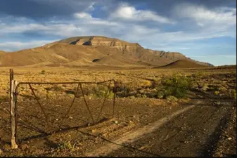
Hill some 13 km North-West of the confluence of the Annis River with the Orange River. Near the hill is the joining of the Orange River and the Annis River which is known for its active water-sports, yet very peaceful!
placeREF P-0122014Revised
Place record
Anniskop, Hill in Karoo-Namibia
- Coordinates
- -28.2000, 16.3400
- Updated
- 20 May 2026

near Anniskop Hill Image source
Location Map
Anniskop, Hill in Karoo-Namibia
How we know this
- 01New Dictionary of South African Place Names by Peter Esa.forestadventures.co,za
Last updated · 20 May 2026
South African History Online. (2016, September 23). Anniskop, Hill in Karoo-Namibia. South African History Online. https://sahistory.org.za/xh/ref/P-0122014
South African History Online (2016) 'Anniskop, Hill in Karoo-Namibia', South African History Online, 23 September. Available at: https://sahistory.org.za/xh/ref/P-0122014 (Accessed: 21 July 2026).
South African History Online, Anniskop, Hill in Karoo-Namibia [website], https://sahistory.org.za/xh/ref/P-0122014, (accessed 21 July 2026).
"Anniskop, Hill in Karoo-Namibia." South African History Online, 23 Sept. 2016, https://sahistory.org.za/xh/ref/P-0122014. Accessed 21 July 2026.
South African History Online. "Anniskop, Hill in Karoo-Namibia." South African History Online. September 23, 2016. https://sahistory.org.za/xh/ref/P-0122014.
Further reading
 Place
Place
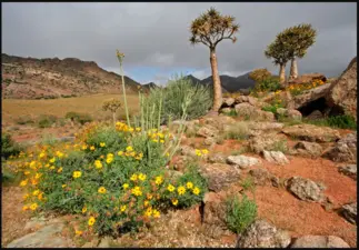
Richtersveld Cultural and Botanical Landscape, Northern Cape
The 1600 square kilometers in area is the Richtersveld Cultural and Botanical Landscape.
 Place
Place
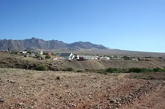
Annis River, near Kuboes in the Northern Cape
Stream rising between Ploegberg and the Oemsberg about 14 km South-East of Kuboes.
 Place
Place
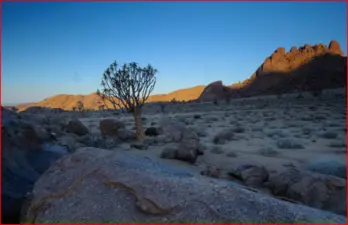
Kuboes, Northern Cape
Regarded by the local people as the heartland of the Nama Culture, the little Town of Kuboes lies nestled between the...
 Place
Place
KwaNojoli, formerly Somerset East
On the fringes of South Africa’s Karoo in the malaria-free Eastern Cape lies an interesting, attractive and historic...
 Place
Place
Tankwa Karoo National Park
It is recommend that you travel through the Park, with a vehicle with high ground clearance and good tyres.
SAHO is free because readers fund it. Donate →