It is recommend that you travel through the Park, with a vehicle with high ground clearance and good tyres. As all roads in the Park are gravel/dirt roads. No fuel is available in the Park. No shops, restaurants, public phones or ATMs in the Park. As outdoor lighting in camps is limited, a torch/headlamp is required when walking outside at night.
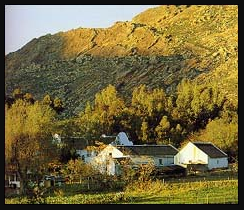
The Park has a number of off-road tracks with two major 4x4 routes for the more advanced enthusiast, namely: 'Leeuberg 4x4 Eco-trail and the Watervlei 4x4 Route'. Situated 18km away from the Park Reception is Elandsberg. This little National Park is very the isolated and hence the romantic Elandsberg Cottages where initiated in September 2006 and completed by April 2008.
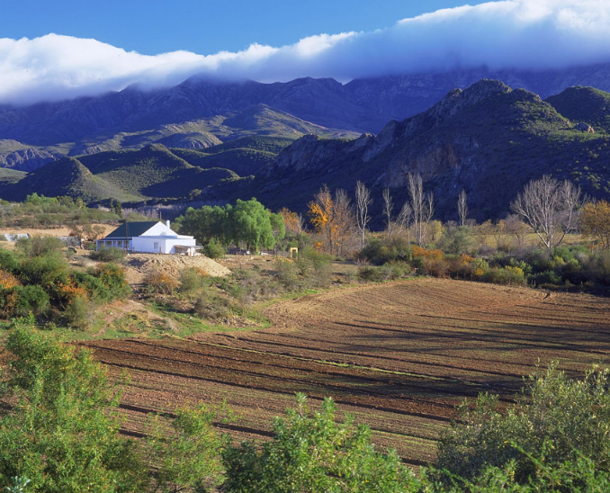
The development of the Elandsberg Wilderness Camp was initiated in September 2006 and completed by April 2008. The rustic design of the cottage gives the visitor a true bushveld experience topped with a striking evening sunset over the 'Roogeveld' Escarpment. Each Cottage boasts beautiful views of the Karoo plains and imposing Roggeveld Escarpment. The cottages are spaced far enough from each other maintaining privacy, yet close enough for groups to book different cottages together. Not to be missed is the annual Tankwa Birding Bonanza held during April, where birders, beginners to expert twitchers, can have a friendly competition to test their knowledge against others'. The event is hosted by the SANParks Honorary Rangers and has various sponsors.
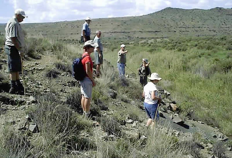
The Tankwa Karoo National Park (TKNP) is part of a renowned arid biome with an unrivaled diversity, in succulents. The Park has been subject to anthropogenic pressures, (The meaning of ANTHROPOGENIC is of, relating to, or resulting from the influence of human beings on nature), such as heavy grazing with climate change being a recent threat. This study investigated changes in vegetation productivity between 2000 and 2014 across six vegetation types using rainfall and satellite data. The Park is broadly divided into a plain at low altitude (316 m) receiving less rain and a wetter, higher terrain (1640 m). Long-term rainfall varied from 265 mm y-1 in the highland areas to 100 mm y-1 in the Plains. There was a significant corresponding rise in NDVI (The Normalized Difference Vegetation Index (NDVI)- is a measure of the amount and vigor of vegetation on the land surface and NDVI spatial composite images are developed to more easily distinguish green vegetation from bare soils.) The Lowlands to the Highlands (p < 0.001). This analyses suggests that vegetation has stabilised since the Park was proclaimed in 1984 because 81% of the Area has remained uniform, on average, despite considerable variation on a vegetation type basis. Only 18% of the Park had increasing productivity while just 2% experienced a decline. The patterns also suggest vegetation was principally controlled by rainfall, rather than a shift in land-use from Rangeland to Conservation. This implies that much of the presumably endemic degradation in the Succulent Karoo Biome is not evident in the Tankwa.