Skip to main content
South African
History Online
Politics & Society
Africa
Art & Culture
Biographies
Classroom
Places
Timelines
Archives
About Us
Cite This Page
Share
Print
Timeline Explorer
♥
Donate
South African History Online
Know your
history
Search SAHO
30,000+
Archive records
17,000+
Historical events
10,000+
Biographies
2,800+
Articles
Trending topics
Apartheid
Nelson Mandela
Freedom Charter
Sharpeville
Steve Biko
Anglo-Boer War
Mandela
Zulu
Browse by era
Pre-colonial
Colonial era
Apartheid era
Liberation struggle
Post-1994
World Wars
Explore by type
Politics & Society
Biographies
Timeline
Archives
Classroom
Recent searches
Menu
Politics & Society
Africa
Art & Culture
Biographies
Classroom
Places
Timelines
Archives
About Us
Home
Municipality
Sort by
Date
Order
Asc
Desc
Browse Content
Archives
Collections
Place
Anglo Alpha, a Railway Siding near Colligney, North West
4 June 2020
Railway Siding, 20 km North-West of Colligney and 5 km South-East of Lichtenburg. Takes its name from Anglo Alpha Cement...
Place
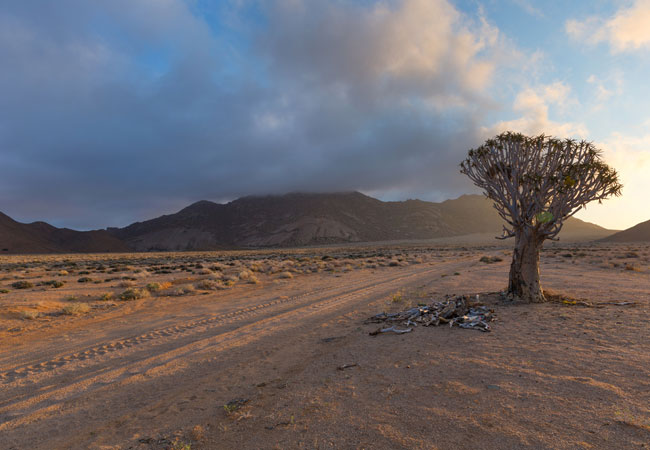
Anegas Range a Mountain in the Northern Cape
4 June 2020
Mountian situated about 24 km South-West of Komassies and 22 km North-West of Leliefontein. The name comes from Khoikhoi...
Place
Andriesburg, Eastern Cape
4 June 2020
A Mountain, 2 106 m high about 30 km North-West of Queenstown and 20 km South-East of Sterkstroom. It is known by the Xh...
Place
Andalusia, Cape and Transvaal Border
1 June 2020
the border between the Cape and Transvaal provinces, ran through the Town, making it the only Town in South Africa that ...
Place
Ambrosiushoek, Gaansbaai Western Province
22 May 2020
Name employed in the 18th Century for the Coastal Area on the peninsula between Danger Point and Gansbaai. Dutch for 'Am...
Place
Aluin Krantz West, a Farm Near Alexandria
15 May 2020
Located in the Sundays River Valley, in the District of Cacadu District Municipality, Eastern Cape. Aluin Krantz...
Place
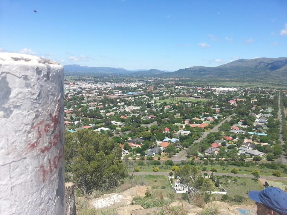
Aliwal North, Eastern Cape
9 May 2020
Town on the banks of the Orange River, some 195 km from Bloemfontein, on the road to to East London.
Place
Alberton, Germiston
4 May 2020
Town 6 km West of Germiston and 11 km South of Johannesburg. It was laid out on the Farm, Elandsfontein in 1904. Named a...
Place
Airlie, a Railway Station near Waterval Onder
27 April 2020
Railway station between Sycamore and Hemlock, on the route from Pretoria to Maputo, some 16km east of Waterval Onder.
Place
Ahrens, Kwa-Zulu Natal
25 April 2020
Railway Siding 16 km west of Greytown, on the route to Kranskop. It was named in honour of Wilhelm Ahrens, Principal fro...
Place
Abiquasput, Northern Cape
20 April 2020
26 km North of Noenieput. The name in Afrikaans meaning, water-well. Alternativly the name could have arisen from the us...
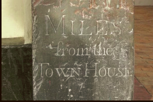
Place
Maitland Road
18 April 2019
Milestones where used to measure distance, by the early settlers, in Cape Town. A Post Office known as Eleventh Mile Sto...
Place
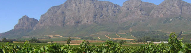
Groot Drakenstein
18 April 2019
Simon van der Stel, arguably the first coloured Governor of the Cape, was a farming development visionary, who simply fr...
Place
Katlehong
18 April 2019
Katlehong is a township located 35km East of Johannesburg and South of Germiston between two other townships — Thokoza a...
Place
Rooigrond
18 April 2019
Rooigrond was a Rural Community 16km of Mafikeng and 25km South-West of Ottoshoop, in the former fomeland of Bophuthatsw...
Place
Lookout, Uitenhage
18 April 2019
The Lookout stands on a high promontory overlooking a Valley noted for its Indigenous Vegetation. Although it is a spot ...
Place
Robertson Division
18 April 2019
The Division of Robertson was originally part of the district of Tulbagh, whose drostdy was transferred to Worcester in ...
First page
« First
Previous page
‹‹
Page
1
Page
2
Current page
3