Skip to main content
South African
History Online
Politics & Society
Africa
Art & Culture
Biographies
Classroom
Places
Timelines
Archives
About Us
Cite This Page
Share
Print
Timeline Explorer
♥
Donate
South African History Online
Know your
history
Search SAHO
30,000+
Archive records
17,000+
Historical events
10,000+
Biographies
2,800+
Articles
Trending topics
Apartheid
Nelson Mandela
Freedom Charter
Sharpeville
Steve Biko
Anglo-Boer War
Mandela
Zulu
Browse by era
Pre-colonial
Colonial era
Apartheid era
Liberation struggle
Post-1994
World Wars
Explore by type
Politics & Society
Biographies
Timeline
Archives
Classroom
Recent searches
Menu
Politics & Society
Africa
Art & Culture
Biographies
Classroom
Places
Timelines
Archives
About Us
Home
SAHO global search
Search Results for
“orange-river”
Fulltext search
Content type
- Any -
Archive
Article
Biography
This day in history
Place
Upcoming Event
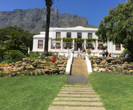
Place
Leeuwenhof, Official Residence of the Premier of Cape Town
… Brand, father of Jan Brand, the President of the Orange Free State, led the busy life of an advocate and …
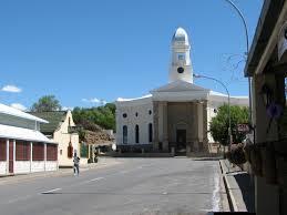
Place
Colesberg, Northern Cape
… 2 March 1900. However Boer forces continued to control the Orange Free State banks of the Gariep and on 2 March 1900 …
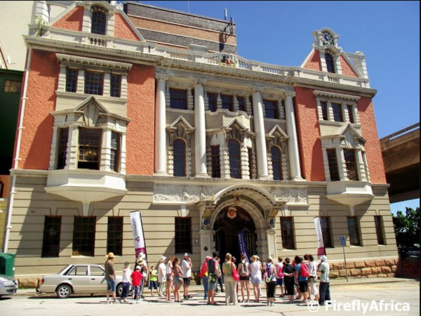
Place
Harbour Board Building, Port Elizabeth
… only embraced its Xhosa Heritage but celebrated its iconic River.) It was Boy Lamani of KwaMgxaki , who proposed the …
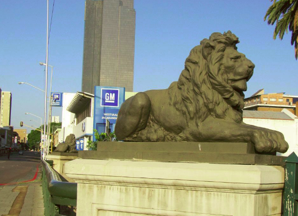
Place
Lions Bridge, Church Street, Arcadia, Pretoria
… June 1894. It is the oldest existing bridge over the Apies River and the only such structure remaining from the ZAR era …
Place
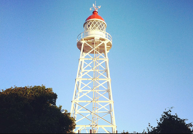
m'Bashe Lighthouse
… Protected Area and no fishing is allowed. The Mbashe River, so popular with fishermen, separates two little nature …
Place
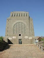
Voortrekker Monument
… attended the Day of the Covenant Celebrations at Blood River in Natal. However, the movement to actually Build such … the 16 December 1838, was the date of the Battle of Blood River, commemorated in South Africa before 1994 as the Day of …
Place
Umlazi
… ‘Bantu’ settlements. Umlazi got its name from the Mlazi River, on the southern bank where the settlement was … passing through the area, he refused to drink from a local river because he alleged that it had the flavour of "umlaza", …
Place
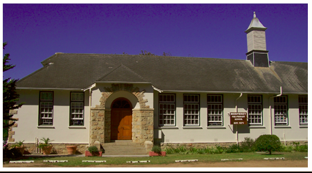
Monterey House, Klaasens Road, Wynberg
… the Old Westcott Primary School premises, Main Road, Diep River. The School leased this beautiful old School building …
Place
Nqweba was called Kirkwood, Eastern Cape
… farming community of Kirkwood, in the heart of the Sundays River Valley, close to the town of Addo and the Northern …
Place
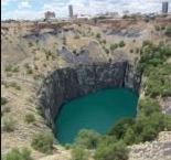
Kimberley, Northern Cape
… five of South Africa's big rivers, two of them being the Orange and Vaal Rivers. Kimberley has an average of 9 and a …
Place
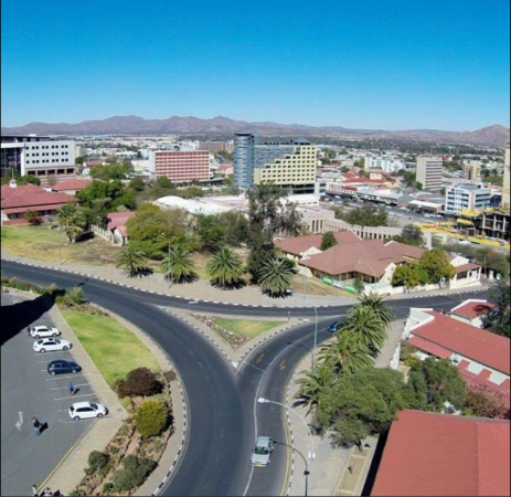
Windhoek, Capital City of Namibia
… It is 1,680m above sea level, 650 km north of the Orange River and 360 km from the Atlantic seaboard. "Whether due to …
Place
Plumstead
… Town. Regarded as the ‘Cinderella’ of Wynberg and Diep River, Plumstead is filled with homes built during the 1940s …
Place
Riverside
… bounded by the Drakensberg to the West, the Umzimkulu river to the north, the sea to the east and the Cape Colony …
Place
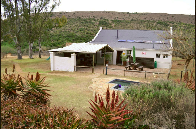
Barrydale, Cape Overberg
Place
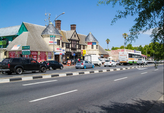
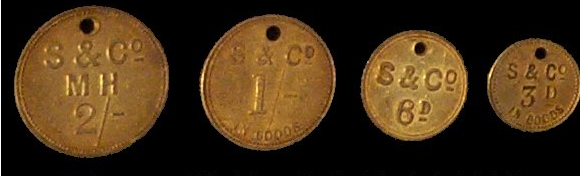
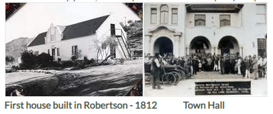
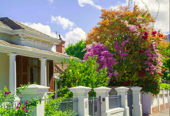
Robertson, Route 62
… Chasseur; Retreat; Noree; Goree; Vink Rivier; Willem Nels River; Klaasvoogds; Goudmyn; Vlolikheid and De Hoop.' In … Upholsterers and Professional Transport Riders. A New River Irrigation Scheme, which brought water by means of …
Place
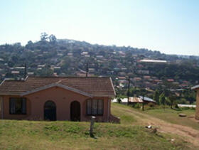
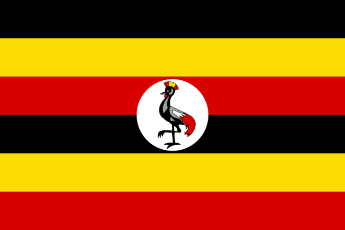
Uganda
… protected wildlife sanctuary. Here, the mighty Nile River bisects flourishing savannahs, flanked by lush riverine …
Place
Mowbray
… of Victorian terraced homes on the banks of the Liesbeek River, and a student digs with a healthy mix of North …
Place
Wynberg Park, Southern Suburbs
… that makes this Area so pretty. The 'Krakeelwater' River’s Spring actually begins in this Park. Wynberg Park is …
Place
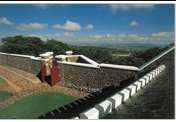
Fort Wiltshire
… he relocated the post to a new site closer to the river, about a kilometre from the tower, and placed the …
Place
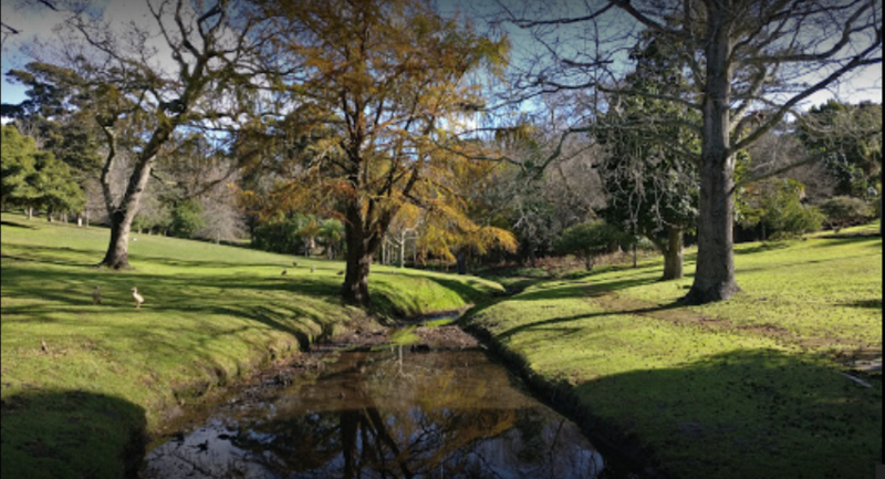
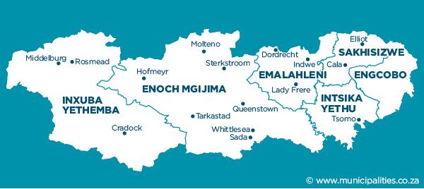
Cradock Division
… farms, with small settlements in the rural areas of Fish River Mortimer and Rosmead. The N10 National Road, which is …
Place
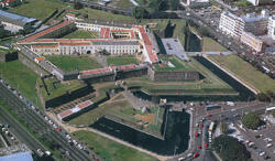
Castle of Good Hope, Castle Street- Cape Town
… The five bastions were named after the Prince of Orange and contained the quarters of some of the officers and …
Place
Sun Valley Estates, Ladysmith
… Sun Valley Estates were orange growing farms owned by Whites. The land initially …
Place
South Africa
… We live in “big sky” country – whether blue, or orange in sunset, or dark grey and rent by lightening, or … blue of a kingfisher. The miles and miles of yellow and orange daisies in Namaqualand in September, or pink and white …
Place
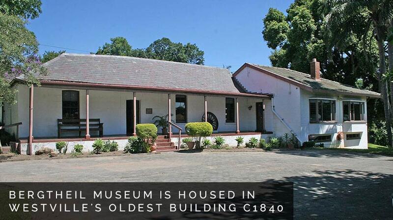
Bergtheil House, 16 Queen’s Avenue, Westville
… “Who left this behind?” And the documentary DVD “River of Secret Lives” are currently on view at Bergtheil …
Place
Old Stables, Oatlands, Simonstown
… at Clovelly, and quicksands at the Sivermine and Else River mouths. …
Place
Fort Schanskop
… Fort Klapperkop, and running water came from the Apies River in the Fountains Valley. The garrison was initially …
Place
Sao Bento Shipwreck, Coffee Bay
… 1554, on the rocks of the little island where the Msikaba River meets the sea. Only 23 people survived! "One of my …
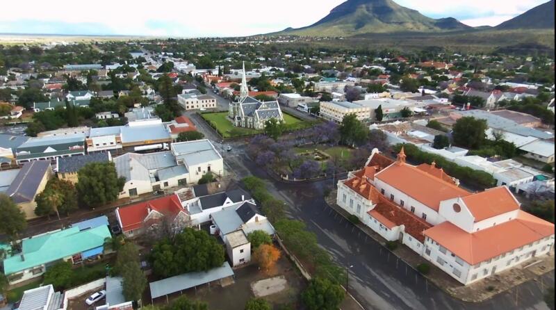
Place
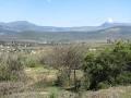
Robert Sobukwe Town, was called Graaf-Reinet
… Graaff-Reinet lies enclosed by a bend in the Sundays River, overshadowed by the rocky Sneeuberg Mountain within …
Place
Cuylerville
… Cuyler, to its location at the mouth of the Great Fish River. Sixty-four one-acre lots were measured for a village …
Place
Aasvoelberg known as The Eye Of Zastron
… It is the site of the only colony, of Cape Vultures in the Orange Free State. The Aasvoelberg is famous for its 'Eye', a …
First page
« First
Previous page
‹‹
…
Page
5
Page
6
Page
7
Page
8
Current page
9
Page
10
Page
11
Page
12
Page
13
…
Next page
››
Last page
Last »