Mkhambathi Nature Reserve
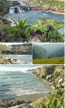
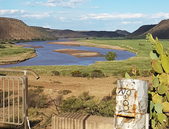
… can be obtained by walking through the grassland above the river. At a bend in the gorge, a natural amphitheatre of … wishing to acquaint themselves with this mysterious river can engage in a 2km canoe trip upstream. Along the way … Throated Longclaw, Common Waxbill, Croaking Cisticola, Orange Throated Longclaw, Ground Hornbill with Gurneys …