The Transvaal is a historical region and former Province of South Africa, located North of the Vaal River, that existed from 1910 to 1994. It's now part of the Provinces of: 'Gauteng; Limpopo; Mpumalanga and North West'. The Limpopo River marked its border with Botswana and Zimbabwe to the North, while the Vaal River marked its boundary with Orange Free State Province, to the South. It was bounded by Mozambique and Swaziland (now Eswantini) to the East and by Cape Province to the West.
The name "Transvaal" means "beyond the Vaal" in Afrikaans, referring to its location North of the Vaal River.
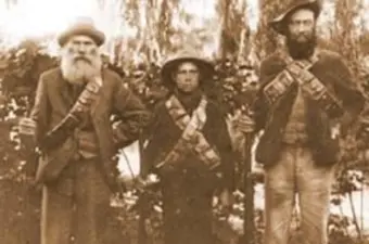
The region was initially inhabited by various Bantu-speaking peoples, and later saw the migration of Afrikaners who established the South African Republic (also known as the Transvaal Republic) in 1852.
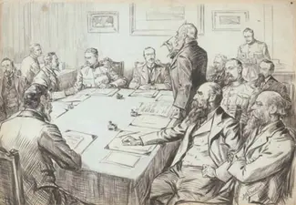
The region was annexed by the British in 1877, but a Boer rebellion restored it in 1881. Following the Second Boer War (1899-1902). The South African Republic became the Transvaal Colony under British rule. In 1910, it became the Transvaal Province within the Union of South Africa (later the Republic of South Africa). The Transvaal Province was dissolved in 1994 after the end of apartheid, and its territory was divided into the Provinces of: 'Gauteng; Limpopo; Mpumalanga and part of North West'.
Today, the name "Transvaal" is still used to refer to the historical geographical area, and is commonly used to describe the region which is extremely rich in mineral and agricultural resources.
The Witwatersrand, South Africa's most important industrial area, is located on the Southern edge of the Highveld, in the Transvaal Province!
The Transvaal gold fields resulted from gold discoveries during the 19th Century.
Place record
Transvaal Province
- Coordinates
- -25.7230, 28.2750
- Updated
- 20 Jul 2026
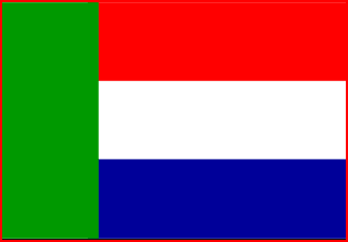
A Province of South Africa between 1910 and 1994. Transvaal Had No Official Provincial Flag but the Flag of the Former Boer Republic- of the Zuid-Afrikaansche Republiek Was Often Used Unofficially.
Location Map
Transvaal Province
How we know this
Last updated · 20 Jul 2026
South African History Online. (2025, April 9). Transvaal Province. South African History Online. https://sahistory.org.za/ref/P-0152998
South African History Online (2025) 'Transvaal Province', South African History Online, 9 April. Available at: https://sahistory.org.za/ref/P-0152998 (Accessed: 21 July 2026).
South African History Online, Transvaal Province [website], https://sahistory.org.za/ref/P-0152998, (accessed 21 July 2026).
"Transvaal Province." South African History Online, 9 Apr. 2025, https://sahistory.org.za/ref/P-0152998. Accessed 21 July 2026.
South African History Online. "Transvaal Province." South African History Online. April 9, 2025. https://sahistory.org.za/ref/P-0152998.
Further reading
 Article
Convention for a Democratic South Africa (CODESA)
 Article
South African Constitutional Development Timeline 1902 - 1997
 Article
The Black Sash: A History of Transformation
 Article
The Drafting and Acceptance of the Constitution
 Article
A history of the South African Constitution 1910-1996
 Place
Place
Heritage Route of Transvaal, Limpopo and Mpumalanga
SAHO is free because readers fund it. Donate →