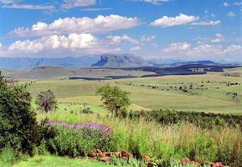
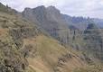
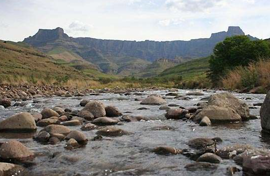
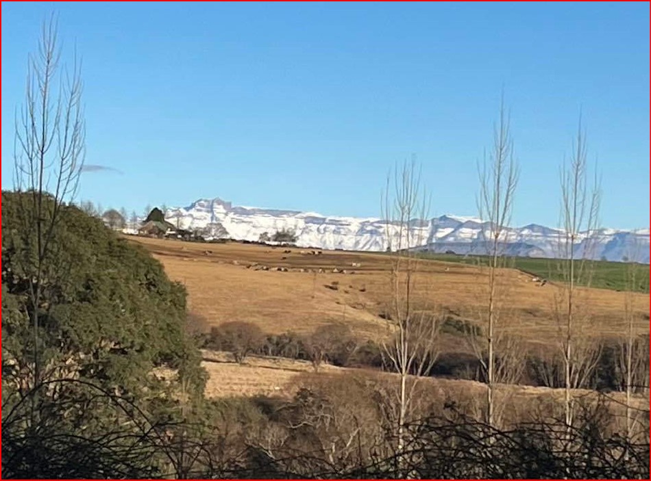
For hiking purposes, the area stretches from the Royal Natal National Park in the North-East to the Cathedral Peak area in the South-West – it is a vast range commencing on the Southern edge of the Amphitheatre and Devil’s tooth, going around the Valleys from which the Mnweni river spring, across the jutting escarpment which is the source of the Orange (Senqu) River all the way to the Northern side of the jaw-dropping Bell and Cathedral Peak Ridges. Officially, the Area known as “Mnweni” is managed by the amaNgwane Tribal Authority and covers the Region between Mount Amery and the Ntonjelana Ridge. This rugged Mountainous Area is not part of the uKhahlamba-Drakensberg World Heritage Site. It belongs instead to the Amangwane people. (AmaNgwane is a Nguni-speaking tribe Resident in a Reserve under the Mont-aux-Sources in Bergville District, Natal. Numbering about 30 000 people. They form one of the largest tribes in the Province. )
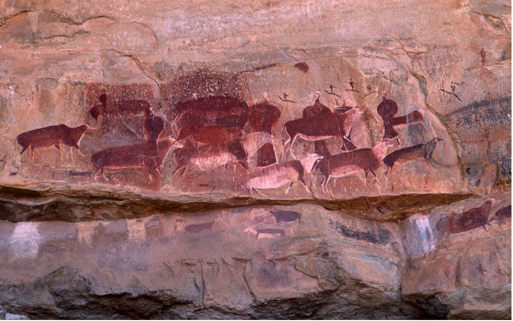
There are camping facilities and rudimentary rondavels at the Mnweni Cultural Centre, but no shopping or meals – one has to be entirely self-sufficient in that regard. But the area is not only for hikers. Rivers offer swimming, horse riding can be arranged, there are mountain bike trails, homestead visits to the local Amangwane people includes traditional meals and dancing, and a local Amafa rock art custodian can guide those interested in rock art sites in the Area.