
The Parade is inseparably associated with the Castle and was used by its garrison as a training ground. Despite this, however, for many years it remained a grassy meadow dissected by meandering streams. In 1763 the burgers of Cape Town planted a number of oaks around this area, and in 1806 the city treasury voted money for the erection of a fountain and the planting of more trees. The fountain was never completed and, by 1814, all traces of it had disappeared. Despite its value as a civic open ground, over the years a number of buildings have built on its fringes, and today it has shrunk to about one half of its original area. It was declared a National Monument under old NMC legislation on 31 August 1962.
placeREF P-0065751Revised
Place record
Grand Parade, Cape Town
- Coordinates
- -33.5649, 18.3142
- Updated
- 20 Jul 2026
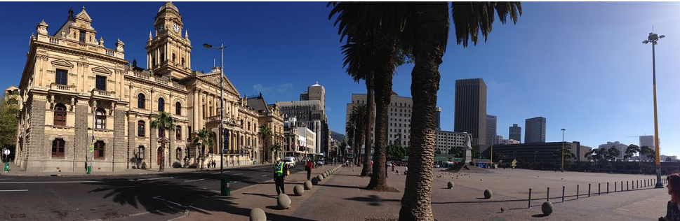
Grande Parade Image source
Location Map
Grand Parade, Cape Town
South African History Online. (2011, July 14). Grand Parade, Cape Town. South African History Online. https://sahistory.org.za/nso/ref/P-0065751
South African History Online (2011) 'Grand Parade, Cape Town', South African History Online, 14 July. Available at: https://sahistory.org.za/nso/ref/P-0065751 (Accessed: 23 July 2026).
South African History Online, Grand Parade, Cape Town [website], https://sahistory.org.za/nso/ref/P-0065751, (accessed 23 July 2026).
"Grand Parade, Cape Town." South African History Online, 14 July 2011, https://sahistory.org.za/nso/ref/P-0065751. Accessed 23 July 2026.
South African History Online. "Grand Parade, Cape Town." South African History Online. July 14, 2011. https://sahistory.org.za/nso/ref/P-0065751.
Further reading
 Article
Cape Town the Segregated city
Contents
Early settlement patterns of exclusion
Towards racial segregation
Segregated city
Conclusion
Once the....
 Article
The Freedom struggle in Cape Town
Cape Town has a long history of the struggle against racial discrimination and social injustice.
 Article
Cape Town Timeline 1300-1997
Photograph of a Khoisan lady. Source: unknown
1300-1599
c.1300-c.1500
The Khoisan are established as the...
 Article
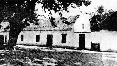
Slave Resistance
Slavery was introduced to the Cape Colony by the VOC in its desire to boost the agriculture and food supply while...
 Article
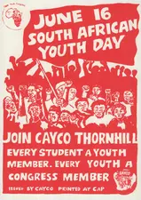
Cape Youth Congress (CAYCO)
Together with civic organizations, the youth played an in important role in the struggle against apartheid in the...
 Article
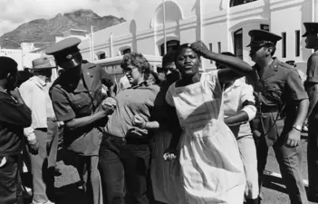
United Women’s Organisation (UWO)
The United Women’s Organisation (UWO) was launched in April 1981 with 400 delegates from the Western Cape attending.
SAHO is free because readers fund it. Donate →