
Hillock about 43 km from Aggeney's! The name is derived from the Khoikhoi word for- 'embrace', because the surrounding Dunes encircle the Hill.
placeREF P-0121948Revised
Place record
Amamakop, a Hill in the Northern Cape
- Coordinates
- 18.2600, -29.0800
- Updated
- 27 May 2020
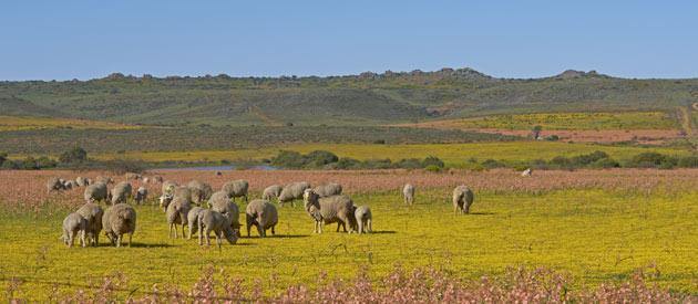
Amamakop Hill, in the Background
Location Map
Amamakop, a Hill in the Northern Cape
How we know this
- 01New Dictionary of South African Names by Peter E. Raper
Last updated · 27 May 2020
South African History Online. (2016, September 21). Amamakop, a Hill in the Northern Cape. South African History Online. https://sahistory.org.za/nr/ref/P-0121948
South African History Online (2016) 'Amamakop, a Hill in the Northern Cape', South African History Online, 21 September. Available at: https://sahistory.org.za/nr/ref/P-0121948 (Accessed: 22 July 2026).
South African History Online, Amamakop, a Hill in the Northern Cape [website], https://sahistory.org.za/nr/ref/P-0121948, (accessed 22 July 2026).
"Amamakop, a Hill in the Northern Cape." South African History Online, 21 Sept. 2016, https://sahistory.org.za/nr/ref/P-0121948. Accessed 22 July 2026.
South African History Online. "Amamakop, a Hill in the Northern Cape." South African History Online. September 21, 2016. https://sahistory.org.za/nr/ref/P-0121948.
Further reading
 Place
Place
Aggeneys, a Town at the foot of the Aggeneys Mountain in the Namaqualand
Town at the Southern foot of Aggeneys Mountains, about 60 km West of Pofadder. It has been suggested that the name is...
 Archive
 Place
Place
Touring the Northern Cape
The Northern Cape is South Africa’s Largest Province and must-see destination, whether you prefer the ocean, the...
 Place
Place
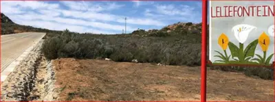
Leliefontein
The pretty, Historic Village of Leliefontein is located in; the Kamiesberg Mountain Range.
 Place
Place
Pofadder, Northern Cape
Pofadder is a small town situated in the Northern Cape of South Africa. While pofadder means: 'Puff Adder'-(a type of...
 Place
Place
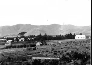
Greyton, Western Province
This Village of Greyton, in the Cape, was established in 1852. Although the first plots of land were only sold in 1854.
SAHO is free because readers fund it. Donate →