Published 17 November 2020Updated 18 November 2020
Personal Information
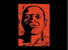
Petrus Kamati
Including Qondiswa James, Mbali Williams, Mihla Hanise, Anya Isabel, Kas and Hunter
Hosted by Didintle Ntsie
Filmed 5 September 2020
Broadcasted 6 September 2020
Personal Information
Hendrik Gerhardus Jacobsz
Personal Information
Peter Anthony Jacobs
Related Content
Personal Information
Joseph Ipangelua
Related Content
Personal Information
Roland Mark Hunter
Personal Information
David Giuara Hlongwane