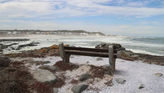
Yzerfontein is considered the: ‘Pearl‘, of the West Coast. Yzerfontein, a hidden gem which is only, a pleasant one hour drive from the metropole of Cape Town, also lying only 26km west of: 'the Village of Darling'.
This Day in History: 24 September 2005
Former South African Football Association president Solomon "Sticks" Morewa died at the age of 61. Mr Morewa played an instrumental role in South Africa's readmission in International Football, He was also at the helm of South African Football Assosiation (Safa) during the 1996 African Nations Cup.
This Day in History: 21 June 2021
Former National Professional Soccer League (NPSL) and the National Soccer League general manager Cyril Kobus dies at the age 79. Mr Kobus was credited as one of the brains in the formation of the National Soccerr League in 1985.
This was intended to be a Boarding House for the late-night Theatre Attendees in 1893. However this Building is now a Four Star Heritage Hotel. (The innuendo being: "It is situated within the Centre of Bloemfontein and this City is known as; 'The City of Roses'".)
It is in close proximity to all business and entertainment facilities.
Schoenstatt’s Founder was a priest, Father Joseph Kentenich was born in 1885, near Cologne in Germany. In 1912, he was appointed Spiritual Director in the Pallottine Minor Seminary.
It is located sandwiched between Sunwich Port and Sea Park, on the South Coast of KwaZulu Natal. Southport and the various little Suburbs, tend to regard themselves as extensions of Port Shepstone, so there is rarely anything to disturb a holiday idyll along this lovely stretch of Coastline. There is only 8 kilometres of travel to reach the variety of Shops, Restaurants and other entertainment in Port Shepstone, or the ‘buzz’ of Beach resorts in Shelly Beach, St Michaels, Uvongo and Margate.
Socialism is a political and economic ideology aiming to create a society where all members distribute resources and wealth equally. It is based on the belief that resources should be owned and controlled collectively rather than by individuals or corporations and that the means of production should be publicly owned and managed.
BRICS is an acronym that refers to the grouping of five major emerging economies in the world: Brazil, Russia, India, China, and South Africa. This grouping has become a significant force in the global economy, influencing international policies and shaping the world's future. The BRICS countries have a combined population of over 3 billion people and a combined Gross Domestic Product (GDP) of over $16 trillion, making them influential players in the global economy.
The History of BRICS
The Theewaterskloof Dam is one of the features of Villiersdorp, and is significant for being the seventh-largest Dam in the Country. Here, you can enjoy activities on the Theewaterskloof Dam such as sailing, powerboating, freshwater angling, canoeing, power kite surfing and swimming. The Riviersonderend River provides the water flow which feeds into the Vyeboom Wetland and it has the highest unit runoff of all the areas that feed the Theewaterskloof Dam catchment.
Following on from Part 1, this article seeks to analyse some of the historical and present dynamics bedevilling ESKOM. Over the past twenty years, ESKOM’s systems have been under severe strain due to technical and organisations failures. ESKOM has attempted to grapple with their supply issues through investment in Kusile and Medupi, two large coal fired power stations which by 2022 are still not functioning to their capacity.