Laid out on the Farm, Vergenoegd in 1854, it was proclaimed in 1855 and became a Municipality; the Sarah Baartman District Municipality, in 1881. Said to have been named after General Jan Willem Janssens (1762-1838), the last Batavian Governor of the Cape.
Lying North West of the Upper reaches of the Addo Elephant National Park, Jansenville lies in the Eastern Cape's Nature and Conservation Region, an Area of roughly 438 000 Hectares, of managed Nature Reserves that are committed to Protecting Biodiversity, Conservation and forming beneficial Relationship with Local Communities.
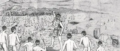
Of course there are those who dispute the Eastern Cape's claim to Jansenville, and it does indeed lie close enough to Graaff-Reinet and the Camdeboo to allow its sometime annexation by the Karoo, even if much of the Vegetation bears a more than passing resemblance to Bushveld. Perhaps it is the grassy Plateaus and the easy Slopes that allow one to think one has entered the Karoo. Or it is the Town's prettiness and its location North of the Zuurberg Mountains in an Area known as Noorsveld, where one finds more than a few Cactus like Succulents known as Noors plants that are not only very beautiful, but in times of drought serve as Cattle Feed. Jansenville is primarily a Hunting and Farming Town, surrounded by Game Farms that lie on the R75 past Glenconnor and Wolwefontein. In the past it was the Terrain of the Nomadic Khoi and Cattle Farmers.
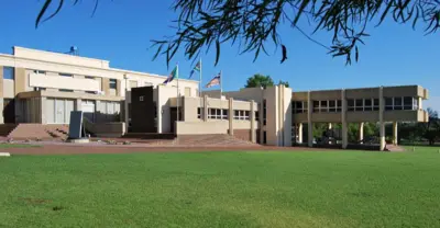
The Town itself offers enough to keep one occupied. If you are a fan of Anglo-Boer War forts, one lies on the pinnacle of a Hill, just outside Jansenville Built in 1901, and the Museum Building, a fabulously preserved Art Deco Home, is definitely worth a visit.