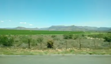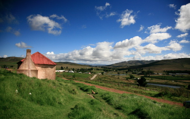
Sixteen kilometers East of 'Avontuur' and 29 kilometers from Uniondale, a village was established by the Berlin Mission Society and was named Anhalt-Schmidt, in 1860. This Village however had already been named Haarlem and bears that name today. (presumably named after the City, near Amsterdam in Holland!)
The tiny settlements of Haarlem and 'Avontuur' (which means- ‘adventure’ in Afrikaans). Perhaps because this extended Valley in the Kamanassie Mountains is so lush, fertile and enclosed, it has also been a bone of contention between various groups in the past thousand Years or so.
First came the San, who left their traces in caves and overhangs all over these mountains. Then came the small livestock farmers of African origin, to be followed by a particularly tough community of European settlers. One of them was Jan de Buys, the father of Coenraad de Buys, the battling giant who left his legend – and offspring – all the way from the Cape through the Karoo and up to the Soutpansberg. The Long Kloof is all about apples today, and Haarlem is the Western most spot where the old Apple Express used to run. It’s still a breathtakingly lovely area, dotted by farmsteads and villages. Perhaps one of the most exciting features of Haarlem is: 'The team of local home-based care's who drive up and down these hills and dales to look after the old, poor and isolated living in the area.' The role of the caregivers is to monitor their progress, to make sure they take their meds, to check blood pressure and blood sugar levels and to educate the families on how to care for their ailing relatives. (With such little acts of kindness, they weave deep magic into their community!)