
Place record
Wallacedene, Cape Town
- Coordinates
- 18.7220, -33.8580
- Updated
- 20 Jul 2026
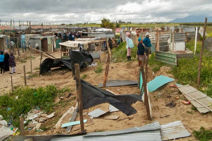
The Informal Settlement of Wallacedene
Location Map
Wallacedene, Cape Town
How we know this
- 01"Sub Place Wallacedene". Census 2011. Muzondo, I.F., Barry, M., Dewar, D. & Whittal, J. 2004, 'Land conflicts in informal settlements: Wallacedene in Cape Town, South Africa', paper presented at International Federation of Surveyors Working Week, Athens, 22–27 May. Retrieved on 14 August 2008. Joubert, Pearlie (8 August 2008). "Grootboom dies homeless and penniless". Mail & Guardian. Archived from the original on 28 July 2019. Retrieved 10 August 2019.
Last updated · 20 Jul 2026
South African History Online. (2020, April 2). Wallacedene, Cape Town. South African History Online. https://sahistory.org.za/ss/ref/P-0150135
South African History Online (2020) 'Wallacedene, Cape Town', South African History Online, 2 April. Available at: https://sahistory.org.za/ss/ref/P-0150135 (Accessed: 23 July 2026).
South African History Online, Wallacedene, Cape Town [website], https://sahistory.org.za/ss/ref/P-0150135, (accessed 23 July 2026).
"Wallacedene, Cape Town." South African History Online, 2 Apr. 2020, https://sahistory.org.za/ss/ref/P-0150135. Accessed 23 July 2026.
South African History Online. "Wallacedene, Cape Town." South African History Online. April 2, 2020. https://sahistory.org.za/ss/ref/P-0150135.
Further reading
 Article
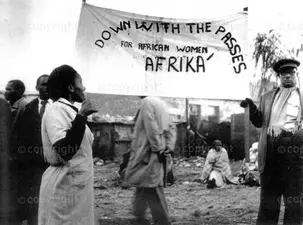
Pass laws in South Africa 1800-1994
 Article
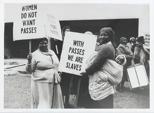
The 1956 Women’s March, Pretoria, 9 August
 Article
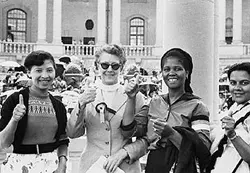
The Women’s Charter
 Place
Place
Brackenfell, Cape Town
 Place
Place
Welgelegen Farm, Stellenbosch
 Article
The turbulent 1950s - Women as defiant activists
SAHO is free because readers fund it. Donate →