
Places
1,873 records
| Src | ||||
|---|---|---|---|---|
| P-0013785 | place | Kamastone and Bulhoek | 16 Apr 2026 | ✓ |
| P-0013783 | place | Republic of Griqualand West or the Digger's Republic | 16 Mar 2011 | ✓ |
| P-0013762 | place | Legogote Mountain Region, Mpumalanga | 16 Mar 2011 | ✓ |
| P-0013761 | place | Elliot, Thembuland | 16 Mar 2011 | – |
| P-0013760 | place | KuGompo was called East London, Eastern Cape | 16 May 2006 | ✓ |
| P-0013756 | place | Nxuba (formerly known as Cradock) | 16 Mar 2011 | ✓ |
| P-0013750 | place | Clearwater, Now Known as Griquastad- in the Northern Cape | 16 Mar 2011 | ✓ |
| P-0013749 | place | Clarkson, Eastern Cape | 16 Mar 2011 | ✓ |
| P-0013747 | place | Ciskei | 16 Mar 2011 | ✓ |
| P-0013744 | place | Cathcart District, Eastern Cape | 16 Mar 2011 | ✓ |
| P-0013741 | place | Cape Province- 'Province of Good Hope' or previously the- Cape Colony | 16 Mar 2011 | ✓ |
| P-0013739 | place | British Kaffraria, now the Border Region | 16 Mar 2011 | ✓ |
| P-0149811 | place | Somerset West, Cape Helderberg | 11 Dec 2019 | ✓ |
| P-0013784 | place | Hout Bay, Atlantic Seaboard- Western Cape | 16 Mar 2011 | ✓ |
| P-0013733 | place | Camdeboo was called Aberdeen, Eastern Cape | 16 Mar 2011 | ✓ |
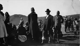
Kamastone and Bulhoek
The Cape government established the settlement of Kamastone in the Queenstown area, in 1854. In 1874 the government received complaints…
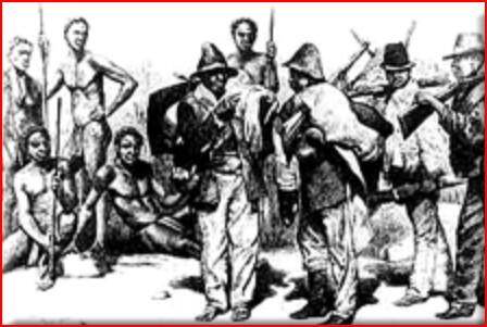
Republic of Griqualand West or the Digger's Republic
Griqualand West was proclaimed as a separate Crown Colony . The discovery of diamonds in South Africa in 1866 resulted in a flood of…
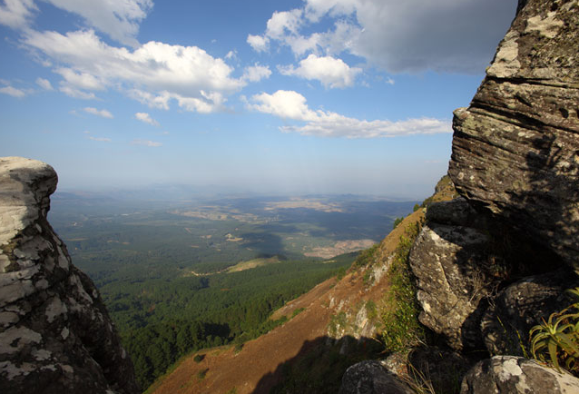
Legogote Mountain Region, Mpumalanga
Mountain 1 194m high, situated just South-East of eLundi and 12m North-East of White River. The name is said to be Swazi for "the large one…
Elliot, Thembuland
The Village of Slang Rivier was founded early in 1885, and in April 1894 its name was changed to Elliot, after Sir Henry Elliot, a…
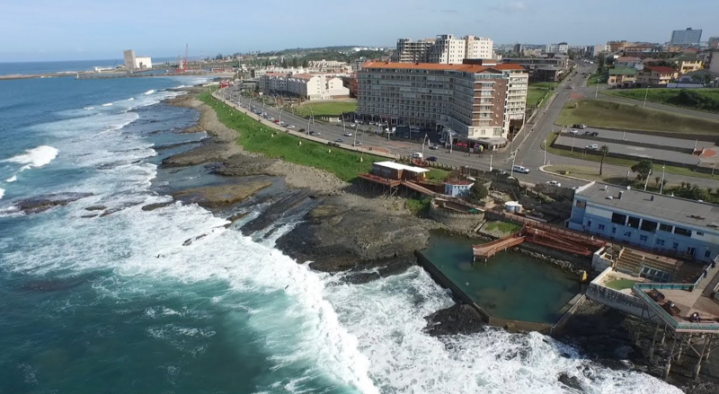
KuGompo was called East London, Eastern Cape
East London, (Afrikaans-'Oos-Londen'), is a Port City is situated in the Eastern Cape Province of South Africa. It lies at the mouth of the…
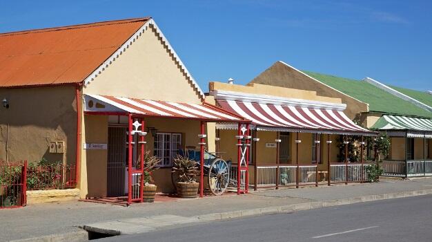
Nxuba (formerly known as Cradock)
Cradock is a Historic Town that has retained much of its 19th-Century charm. Its beautifully restored Victorian and Karoo-style buildings,…
Clearwater, Now Known as Griquastad- in the Northern Cape
In 1801, William Anderson and Cornelius Kramer, of the London Missionary Society, established a Missionary Station, among the Griqua at…
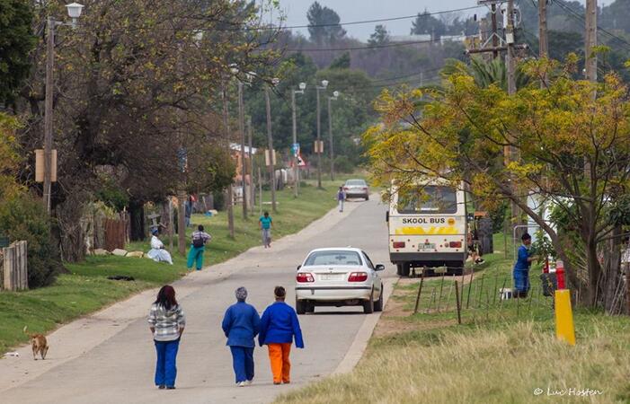
Clarkson, Eastern Cape
A Moravian Mission Village in the former Humansdorp District, 26 km South-East of Assegaaibos Railroad Station, located in Cacadu District…

Ciskei
The Ciskei Bantustan in the Eastern Cape was created as an enclave for the South Africa's Xhosa-speaking people as part of apartheid racial…
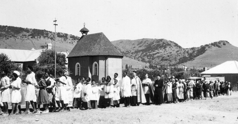
Cathcart District, Eastern Cape
The District of Cathcart was created in January 1877, and it was raised to a fiscal divisional on 1 December 1879. Its economic base was…
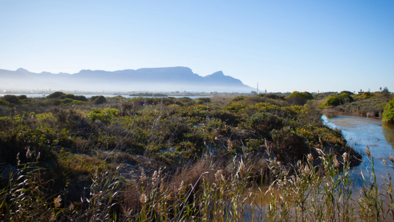
Cape Province- 'Province of Good Hope' or previously the- Cape Colony
The Cape Provinces official name was: 'The Province of the Cape of Good Hope', but is often just called: 'The Cape.' First known as the…
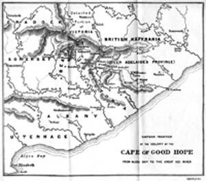
British Kaffraria, now the Border Region
Territory of British Kaffraria On 21 December 1834 massed Xhosa armies attacked the eastern regions of the Cape Colony, destroying all…
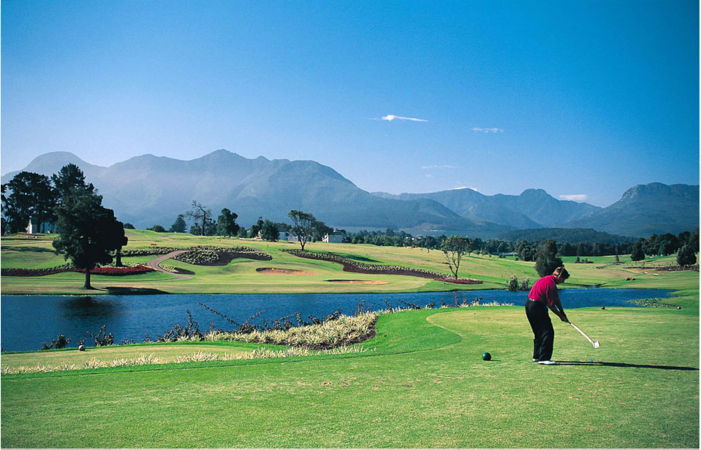
Somerset West, Cape Helderberg
Somerset West It is situated in the Hottentots Holland, mountians area, which is right in the heart of the Cape Winelands. Somerset West is…
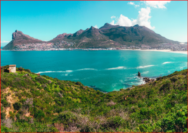
Hout Bay, Atlantic Seaboard- Western Cape
"Houtbaai" (Wood Bay) as it was named by the Dutch settlers while they explored the Bay behind Table Mountain. Its beautiful heavily wooded…
Camdeboo was called Aberdeen, Eastern Cape
Aberdeen is about 50 km South-West of Graaff-Reinet and only 3 hours drive from Port Elizabeth.Aberdeen was founded when the Nederduits…