

This place is situated in Ditsobotla, North West. The name is Dutch for 'narrow pass' or 'narrow gap'. In 2011 it had a population of 7848. In the vicinity is Naauwpoort Secondary School, which is a public state combined school located at Naauwpoort Farm, Rustenburg.
placeREF P-0125249Revised
Place record
Naauwpoort
- Coordinates
- -26.4990, 25.5860
- Updated
- 18 Apr 2019
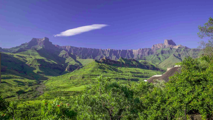
Naauwpoort Image source
Location Map
Naauwpoort
How we know this
- 01New Dictionary of South African Place Names by Peter E. Raper
Last updated · 18 Apr 2019
South African History Online. (2018, August 16). Naauwpoort. South African History Online. https://sahistory.org.za/ref/P-0125249
South African History Online (2018) 'Naauwpoort', South African History Online, 16 August. Available at: https://sahistory.org.za/ref/P-0125249 (Accessed: 19 October 2026).
South African History Online, Naauwpoort [website], https://sahistory.org.za/ref/P-0125249, (accessed 19 October 2026).
"Naauwpoort." South African History Online, 16 Aug. 2018, https://sahistory.org.za/ref/P-0125249. Accessed 19 Oct. 2026.
South African History Online. "Naauwpoort." South African History Online. August 16, 2018. https://sahistory.org.za/ref/P-0125249.
Further reading
 Archive
 Archive
How Glasgow helped free Nelson Mandela
Your browser does not support the video tag.
 Archive
 Place
Place
Xamdeboo was called Aberdeen, Eastern Cape
Aberdeen is about 50 km South-West of Graaff-Reinet and only 3 hours drive from Port Elizabeth.
 Place
Place
Cape Town Civic Centre and the CBD of Cape Town
The Cape Town Civic centre is a Building in the centre of Cape Town, which is just under Signal Hill.
 Place
Place
Paternoster, West Coast
"Think of Fishermen and Fishing Boats, hardy Fynbos growing on whites Dunes, and of Bokkoms (dried Fish), drying in the....
SAHO is free because readers fund it. Donate →