Middelburg, Karoo lies in the middle of its surrounding Towns, approximately 100 km from all. Surrounded by Graaff-Reinet, Cradock,Steynsburg, Colesberg, Richmond & Hanover,( it is no secret as to where the name "Middelburg" came from!) It falls under the Inxuba Yethemba Local Municipality, in the Chris Hani District Municipality.
Grootfontein Cemetery, which is owned by the Municipality, is situated next to and is visible from the road which leads to the airport and military base. The graves are scattered in the old section. It dates back to the Anglo-Boer War.
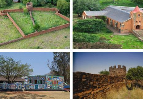
The History of Grootfontein dates back to 1781 when a certain Hendrik van der Walt, made his living as a loan farmer on the then modest property, Grootfontein, situated just North of Middelburg Eastern Cape. The British Department of War bought Farms in Middelburg district which were consolidated under the name of Grootfontein in 1903. During this military period which terminated in 1910 between 12 000 and 15 000 British soldiers that were stationed at Grootfontein. The foundation of the Grootfontein College of Agriculture dates back to the Year after Union in 1910. The Farm Grootfontein was transferred to the Union Government by the Imperial Government in 1911 and an Agricultural School was started in the same year. In 1939, Grootfontein gained College status.
The Grootfontein Agricultural Development Institute is located outside the town of Middelburg in the Great Karoo. It is commonly referred to as the “Grootfontein College of Agriculture” or just “Grootfontein”. Grootfontein was established in 1911 and, as one of the oldest Agricultural Colleges in South Africa, it has a proud training and research History contributing to the prosperity of livestock farming in the Karoo and other arid regions. The vision of Grootfontein is to be the World's leading centre of excellence in training, research and extension in small stock and in agricultural production, in semi-arid to arid climates.