

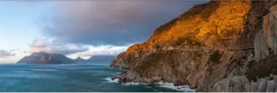
Found on opposite sides of the Bay entrance, on the mountain. Origanally built to protect the Bay entrance!
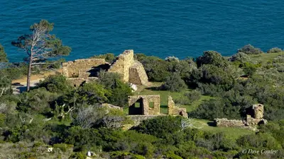
The site was declared a National Monument in the mid 1930’s. The heritage authorities responsible for it today experienced a difficult metamorphosis since the advent of the National Heritage Resources Act of 1999 at which time the site became automatically graded as a Provincial Heritage (Grade II) site under an agency which was yet to be formed. (Today known as Heritage Western Cape).
As East Fort is a contemporary of the West Fort site, they are classified as “Serial Sites” and as such they must be considered “in parallel” in terms of the applicable heritage legislation. However, although East Fort is also a Grade II site it has been destined for Grade I status for many years by SAHRA as it is in a National Park and World Heritage site, this dichotomy of heritage ownership has created a political minefield of responsibility and accountability. The result - total neglect and potential loss of an important International heritage asset.
Little observable maintenance has been done for many years, either by the City or the Province, so when one of the guns toppled over it was a clear signal for the Heritage Assn to intervene. The gun barrels weigh in at around 6000 A (Amsterdam Pounds) i.e. +/- 3 metric tons and as children frequently climb and play on the guns it was vital that action be taken. An excellent rescue plan compiled by HBHT Trustee and Engineer, Chris Everett, was tabled for the approval of the Board of the Hout Bay Heritage Assn for immediate action to help highlight and save the important heritage assets of Hout Bay’s historic site which is of International significance.


.jpg)