
Construction of this dwelling dates from the late 19th century and it is a good example of Victorian architecture. It was declared a National Monument under old NMC legislation on 7 December 1984.
placeREF P-0065814Revised
Place record
Grove Road 4, Green Point
- Coordinates
- -33.9000, 18.4000
- Updated
- 20 Jul 2026

Location Map
Grove Road 4, Green Point
South African History Online. (2011, July 14). Grove Road 4, Green Point. South African History Online. https://sahistory.org.za/nso/ref/P-0065814
South African History Online (2011) 'Grove Road 4, Green Point', South African History Online, 14 July. Available at: https://sahistory.org.za/nso/ref/P-0065814 (Accessed: 23 July 2026).
South African History Online, Grove Road 4, Green Point [website], https://sahistory.org.za/nso/ref/P-0065814, (accessed 23 July 2026).
"Grove Road 4, Green Point." South African History Online, 14 July 2011, https://sahistory.org.za/nso/ref/P-0065814. Accessed 23 July 2026.
South African History Online. "Grove Road 4, Green Point." South African History Online. July 14, 2011. https://sahistory.org.za/nso/ref/P-0065814.
Further reading
 Article
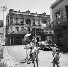
Cape Town the Segregated city
Contents
Early settlement patterns of exclusion
Towards racial segregation
Segregated city
Conclusion
Once the....
 Article
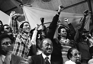
The Freedom struggle in Cape Town
Cape Town has a long history of the struggle against racial discrimination and social injustice.
 Article
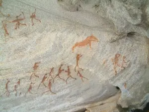
Cape Town Timeline 1300-1997
Photograph of a Khoisan lady. Source: unknown
1300-1599
c.1300-c.1500
The Khoisan are established as the...
 Article
Slave Resistance
Slavery was introduced to the Cape Colony by the VOC in its desire to boost the agriculture and food supply while...
 Article
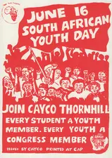
Cape Youth Congress (CAYCO)
Together with civic organizations, the youth played an in important role in the struggle against apartheid in the...
 Article
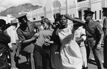
United Women’s Organisation (UWO)
The United Women’s Organisation (UWO) was launched in April 1981 with 400 delegates from the Western Cape attending.
SAHO is free because readers fund it. Donate →