
Place record
Winterton, Kwa Zulu-Natal
- Coordinates
- 29.5170, -28.8140
- Updated
- 27 Oct 2020
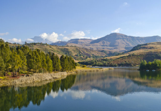
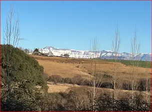
Winterton is a little Town found on the Banks of the Tugela River and the Foothills of the Drakensberg!
Location Map
Winterton, Kwa Zulu-Natal
How we know this
- 01https://www.sa-venues.com/attractionskzn/winterton.php https://www.sa-venues.com/things-to-do/kwazulunatal/the-winterton-museum/ https://www.sa-venues.com/things-to-do/kwazulunatal/san-art-interpretive-centre/
Last updated · 27 Oct 2020
South African History Online. (2020, October 27). Winterton, Kwa Zulu-Natal. South African History Online. https://sahistory.org.za/nso/ref/P-0150517
South African History Online (2020) 'Winterton, Kwa Zulu-Natal', South African History Online, 27 October. Available at: https://sahistory.org.za/nso/ref/P-0150517 (Accessed: 22 July 2026).
South African History Online, Winterton, Kwa Zulu-Natal [website], https://sahistory.org.za/nso/ref/P-0150517, (accessed 22 July 2026).
"Winterton, Kwa Zulu-Natal." South African History Online, 27 Oct. 2020, https://sahistory.org.za/nso/ref/P-0150517. Accessed 22 July 2026.
South African History Online. "Winterton, Kwa Zulu-Natal." South African History Online. October 27, 2020. https://sahistory.org.za/nso/ref/P-0150517.
Further reading
 Place
Place
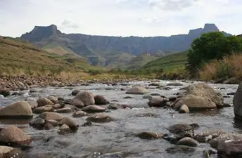
Tugela River and Waterfalls, in the Drakensberg
 Place
Place
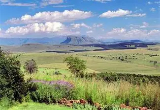
'Amphlett', a Hill Which Forms Part of the Drakensberg
 Place
Place
'Aba Mponjwana', Drakensberg Mountains
 Place
Place
Drakensberg Mountain Range, Lesotho
 Place
Place
uKhahlamba Drakensberg Park
 Archive
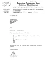
Letter from R H De Wet, Chief Director of the Drakensburg Administration Board to the Secretary of the Ciskei Commission
SAHO is free because readers fund it. Donate →