
A small Town and Border Post between Namibia and South Africa which is located, North-East of Nakop, on the road between Upington and Noenieput. The name has Khoikhoi origins and thought to mean: 'spying pool', referring to spying on the animals, during a hunt!
placeREF P-0121829Revised
Place record
Abeam, Namibia Border Post
- Coordinates
- 20.4300, -28.1000
- Updated
- 20 Oct 2023
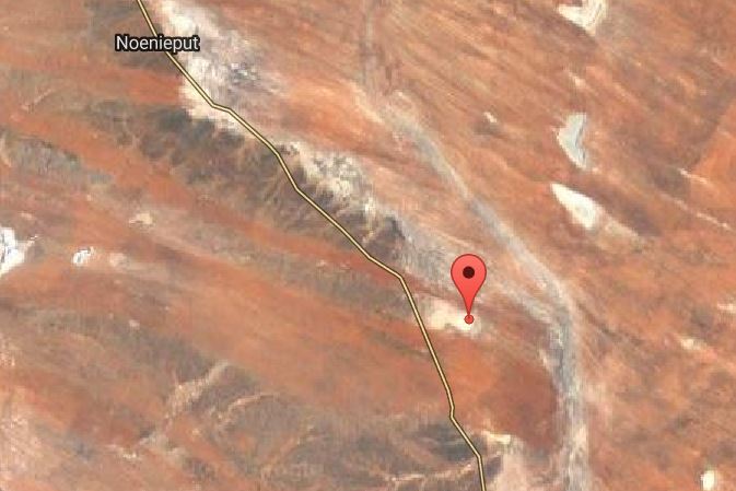
A Relief Map of the Town Abeam
Location Map
Abeam, Namibia Border Post
How we know this
- 01South African Place Names by Peter E. Raper. Google Maps.
Last updated · 20 Oct 2023
South African History Online. (2016, September 14). Abeam, Namibia Border Post. South African History Online. https://sahistory.org.za/nr/ref/P-0121829
South African History Online (2016) 'Abeam, Namibia Border Post', South African History Online, 14 September. Available at: https://sahistory.org.za/nr/ref/P-0121829 (Accessed: 23 July 2026).
South African History Online, Abeam, Namibia Border Post [website], https://sahistory.org.za/nr/ref/P-0121829, (accessed 23 July 2026).
"Abeam, Namibia Border Post." South African History Online, 14 Sept. 2016, https://sahistory.org.za/nr/ref/P-0121829. Accessed 23 July 2026.
South African History Online. "Abeam, Namibia Border Post." South African History Online. September 14, 2016. https://sahistory.org.za/nr/ref/P-0121829.
Further reading
 Archive
 Place
Place
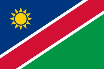
Namibia
Namibia, a former German colony, is situated towards the north west of South Africa.
 Place
Place
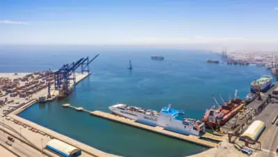
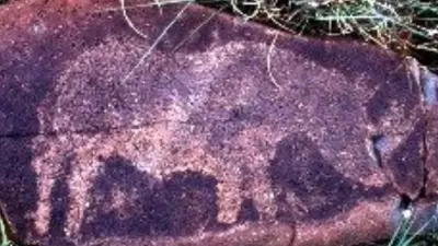
Walvis Bay, Namibia
Walvis Bay is a lively Port and Namibia’s second largest City, which is protected from wind and waves by the long arm...
 Place
Place
Schmidtsdrift
Schmidtsdrift is a Town, in Pixley ka Seme District Municipality, in the Northern Cape Province.
 Place
Place
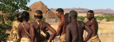
Damara Living Museum, Twyfelfontein-Namibia
The Living Museum of the Damara which is close to Twyfelfontein, is the first traditional Damara project in Namibia and....
 Archive
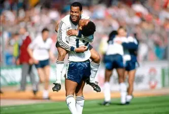
Apartheid's Sporting Afterlife by Clark Easey
Apartheid’s Sporting Afterlifeby Clark Easey · Eleven Named PeopleThe challenge facing South African sport is no...
SAHO is free because readers fund it. Donate →