
Riemvasmaak (pronounced ‘rim fus maack’) means ‘tighten the strap’ or ‘tied with straps'. Riemvasmaak is a rural community and settlement situated within the Kai !Garib Local Municipality (which falls under the ZF Mgcawu District Municipality) in the Northern Cape Province.
5 ANC men die in shoot-outs, by Tony Stirling, The Citizen, 28 November 1985
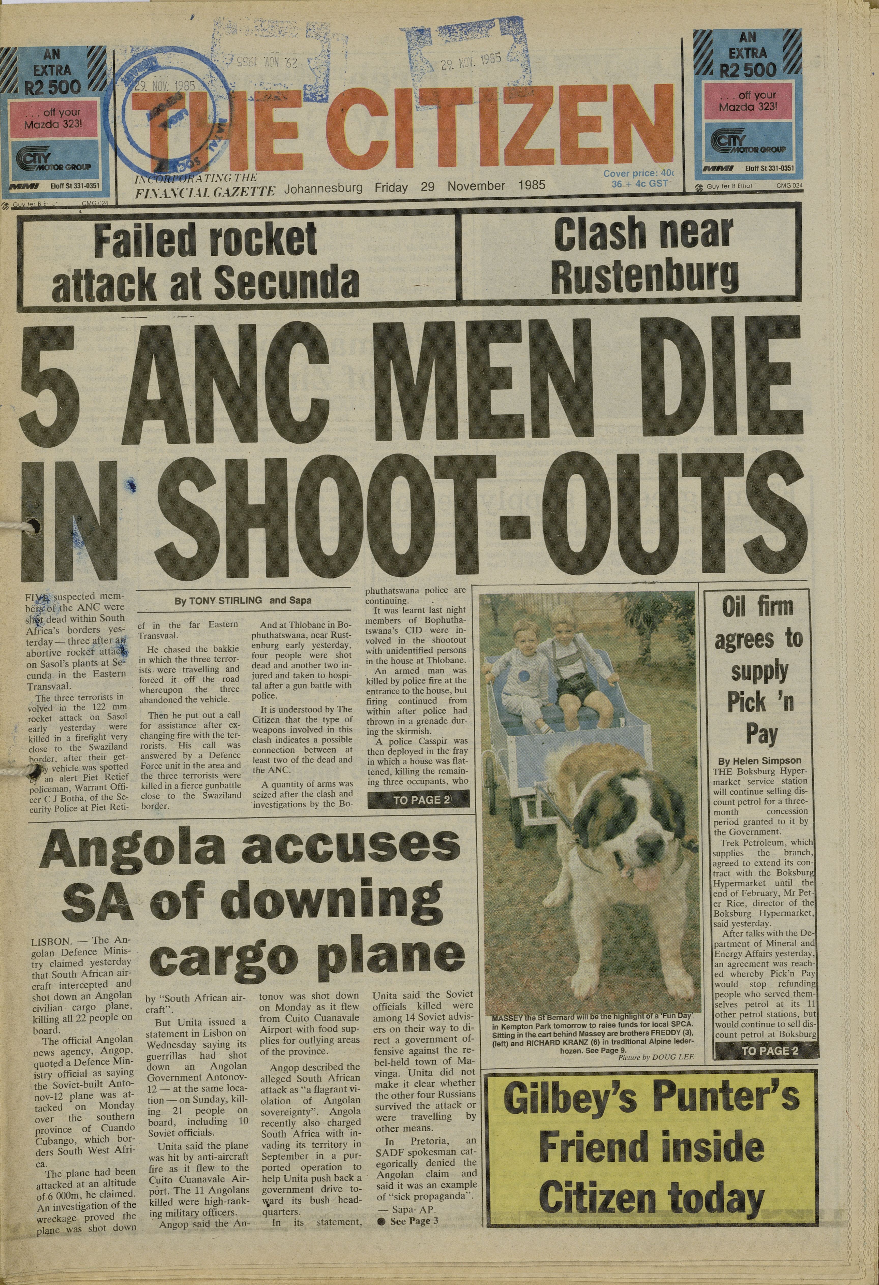
5 ANC men die in shoot-outs, by Tony Stirling, The Citizen, 28 November 1985