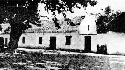
The village of Mowbray was established in about 1853 on the farm Welgelegen, in an area more commonly known as Drie Koppen. This name was of Dutch origin, and was given to a road intersection where the heads of three slaves had been impaled, following their execution for insurrection in 1724. Its significance was not fully understood by the English who translated it to Three Cups. The name of Mowbray first appeared in 1823, and was probably derived from the new English owners of the Welgelegen estate who originated from Melton Mowbray, in England.
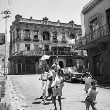
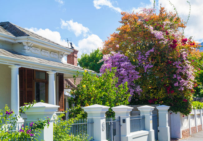
Mowbray, an alternatively chic neighbourhood, with beautiful examples of Victorian terraced homes on the banks of the Liesbeek River, and a student digs with a healthy mix of North Africans and refugee communities that have given Mowbray its reputation as a transitory neighbourhood; one through which people tend to pass, not least due to Main Road Mowbray, which functions as an interchange for buses, taxis and trains. The anticipated move to decay of Mowbray’s CBD has shifted. Greening projects, such as planting trees, has improved the area, and trendy restaurants and coffee shops have moved into Durban Road. Mowbray lies close to the University of Cape Town and Groote Schuur Hospital. Mowbray stretches from Mostert’s Mill, built on the farm Welgelegen around 1796, to the Rondebosch Common, between Rosebank and the N2. Mowbray has pockets of quiet, leafy residential areas in Little Mowbray, the Village and upper Mowbray with Victorian terrace homes, some of which are national monuments, and gorgeous examples of Cape cottages. Mowbray is close to the city centre - you can hop on a taxi from Main Road, take the Simons Town rail or use the M3, and Golden Arrow buses travel between Mowbray and Kirstenbosch on a regular basis.