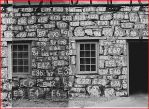
A Post Office was opened at Palmiet River on 1 January 1846, and was probably located at a ford where a small bridge, known as Oude Brug, had been built in 1811. However in 1849 the position of its Postmaster fell vacant and was not filled for the next eight years. In 1852 a new and more substantial Bridge was built further upstream over the River. In 1856 a trader, Wilhelm Langschmidt, purchased a farm; Palmiet. It lay adjacent to the ford, and laid out a Village on the site. He named it Grabow, after his home town in Germany.
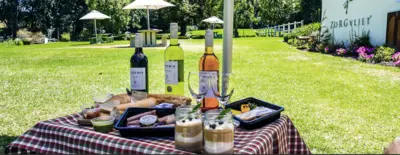
Grabouw is situated in the ElginValley and lies about an hour outside of Cape Town. It’s predominantly an agricultural Area well known for its apples and pears. The area has also branched in to producing grapes and is now a well respected wine region sporting many great wine estates.
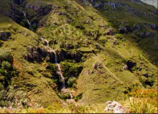
Grabouw/Elgin is situated close to the Kogelberg Biosphere reserve, a UNESCO site, which displays many examples unique species of mountain fynbos, endemic to South Africa. The Hottentots Holland Nature reserve is also nearby. Both reserves offer hiking trails, very popular with nature enthusiasts.
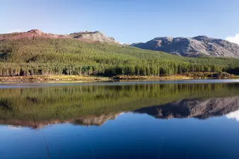
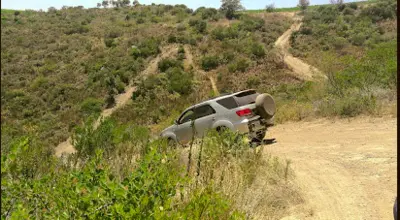
This Area has also become very popular in recent years with the mountain biking set and offers great trails for biking. The Elgin Valley also offers great restaurants, numerous outdoor activities and breathtaking mountain scenery. A huge plus is also the fantastic farm stalls which dot the valley which offers fresh, local produce and proudly South African handmade items. If you enjoy just relaxing and taking in the scenery, there’s great fishing to be had at the local dams or you could consider taking a tour of the Valley with one of the many local tour operators.