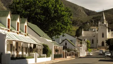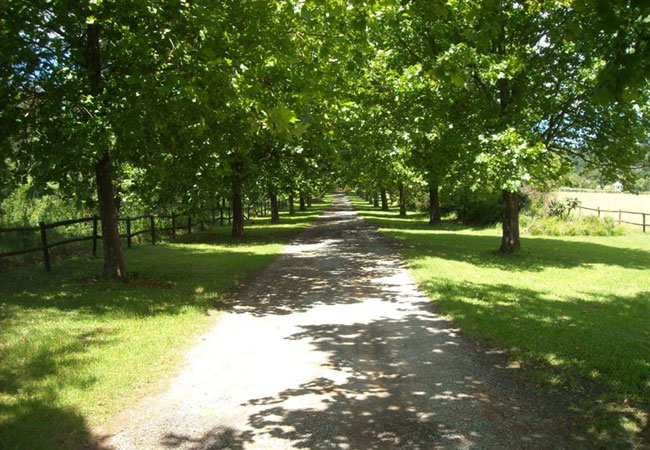
Curry’s Post is a beautifully scenic area in the heart of the Midlands Meander that lies between Mooi River and Howick. It has a quaint history that involves the Curry Family, after whom Curry’s Post is named, who settled here, establishing an overnight wagon and cart stop - in essence a staging post.
The Coach House is still in existence today, this where George Curry and his rather large extended family lived - he went on to have as many as 20 grandchildren. Curry’s Post was to play an important role as a ‘watering hole’ during the gold and diamond rushes as the hustle of traffic - in the form of wagons, carts and weary travellers - made this their stop en route to the old ‘Transvaal’ reef.
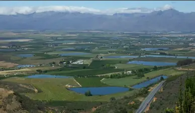
The Curry’s Post of today is considered one of the hidden treasures of the Natal Midlands, for its sheer beauty. It is now a combination of farms - mostly cattle, dairy and vegetable - and natural forests, which appear to extend for miles.
The Midlands Meander is a treasure trove of arts, craft, shops, restaurants and accommodation - a collection of weavers, potters, woodcrafters, leather workers, artists, metalworkers, herb growers, cheese makers and beer brewers - well over 100 stops on four routes that extend over a distance of 80 kilometres between Pietermaritzburg and Mooi River.
"The meander is a wonderfully relaxing and enjoyable way to spend a couple of days, and Curry’s Post is ideally placed to accommodate visits, to the first and largest and definitely the most popular art and crafts route in the country!"