
A Mountain, 2 106 m high about 30 km North-West of Queenstown and 20 km South-East of Sterkstroom. It is known by the Xhosa name of 'KwaHelisi', derived from the surname 'Halse', who was a farmer at Carnarvon, in a nearby Town. Falls in the Lukhanji Local Municipality.
placeREF P-0121989Revised
Place record
Andriesburg, Eastern Cape
- Coordinates
- 26.7970, -31.7170
- Updated
- 4 Jun 2020
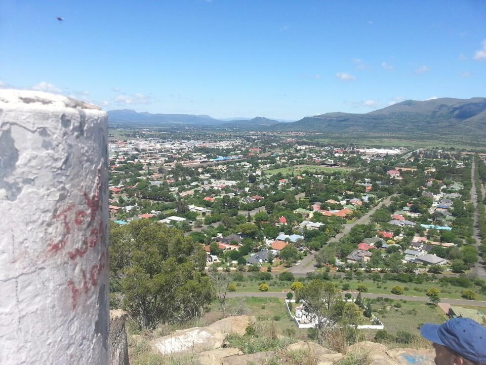
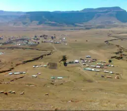
View of Andriesburg Image source
Location Map
Andriesburg, Eastern Cape
How we know this
- 01New Dictionary of South African Place Names by Peter E. Raper.
Last updated · 4 Jun 2020
South African History Online. (2016, September 22). Andriesburg, Eastern Cape. South African History Online. https://sahistory.org.za/xh/ref/P-0121989
South African History Online (2016) 'Andriesburg, Eastern Cape', South African History Online, 22 September. Available at: https://sahistory.org.za/xh/ref/P-0121989 (Accessed: 22 July 2026).
South African History Online, Andriesburg, Eastern Cape [website], https://sahistory.org.za/xh/ref/P-0121989, (accessed 22 July 2026).
"Andriesburg, Eastern Cape." South African History Online, 22 Sept. 2016, https://sahistory.org.za/xh/ref/P-0121989. Accessed 22 July 2026.
South African History Online. "Andriesburg, Eastern Cape." South African History Online. September 22, 2016. https://sahistory.org.za/xh/ref/P-0121989.
Further reading
 Place
Place
Lady Frere, Eastern Cape
Originally named after the wife of; Sir Henry Bartle Frere, the then Governor of the Cape, Lady Frere serves as the...
 Archive
 Place
Place
Xumabokwe Hill, Queenstown
The Hill is 1 535 Metres high and is found 26 Kilometres from Lady Frere. The name is said to mean 'jump for joy hill',....
 Place
Place
Sidwadweni Village, Queenstown-Eastern Cape
Sidwadweni is a little village with about a 150 people for its population, in the Eastern Cape which has produced a...
 Article
Xhosa
The four major ethnic divisions among Black South Africans are the Nguni, Sotho, Shangaan-Tsonga and Venda.
 Place
Place
Carnarvon District, Karoo
The district of Carnarvon was proclaimed on 1 January 1880, incorporating within its boundaries portions of the...
SAHO is free because readers fund it. Donate →