
Article record
Early mapping: representations of Africa (under construction)
- Published
- 28 May 2011
- Updated
- 20 Jul 2026
South African History Online. (2011, May 28). Early mapping: representations of Africa (under construction). South African History Online. https://sahistory.org.za/ts/ref/A-0065055
South African History Online (2011) 'Early mapping: representations of Africa (under construction)', South African History Online, 28 May. Available at: https://sahistory.org.za/ts/ref/A-0065055 (Accessed: 22 July 2026).
South African History Online, Early mapping: representations of Africa (under construction) [website], https://sahistory.org.za/ts/ref/A-0065055, (accessed 22 July 2026).
"Early mapping: representations of Africa (under construction)." South African History Online, 28 May 2011, https://sahistory.org.za/ts/ref/A-0065055. Accessed 22 July 2026.
South African History Online. "Early mapping: representations of Africa (under construction)." South African History Online. May 28, 2011. https://sahistory.org.za/ts/ref/A-0065055.
Further reading
 Article
Grade 6 - Term 2: Explorers from Europe find southern Africa
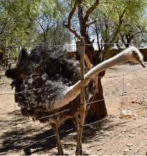 Place
Place
Oudtshoorn, Western Cape
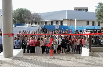 Place
Place
Sol Plaatje University
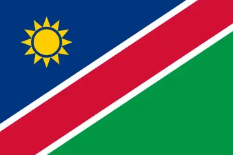 Place
Place
Namibia
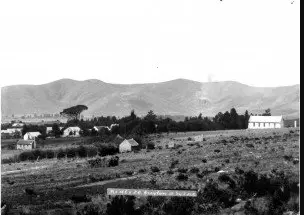 Place
Place
Greyton, Western Province
 Place
Place
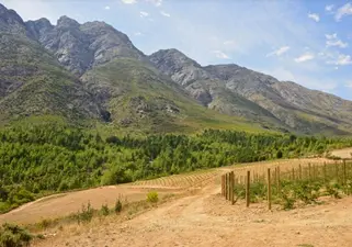
Tulbagh, Western Cape
SAHO is free because readers fund it. Donate →
Contribute to this record0 comments
Comments are reader contributions. They are not part of the archival record.