

The Gamtoos river probably derived its name from a Khoikhoi clan whose name was given by early Dutch settlers as "Gamtousch".
placeREF P-0013774Revised
Place record
Gamtoos River
- Coordinates
- -33.8520, 24.5520
- Updated
- 30 Mar 2023

Gamtoos River Bridges Image source
Location Map
Gamtoos River
How we know this
- 01 www.revolvy.com/main/index.php?s=Gamtoos%20River&item_type=topic
Last updated · 30 Mar 2023
South African History Online. (2011, March 16). Gamtoos River. South African History Online. https://sahistory.org.za/ss/ref/P-0013774
South African History Online (2011) 'Gamtoos River', South African History Online, 16 March. Available at: https://sahistory.org.za/ss/ref/P-0013774 (Accessed: 22 July 2026).
South African History Online, Gamtoos River [website], https://sahistory.org.za/ss/ref/P-0013774, (accessed 22 July 2026).
"Gamtoos River." South African History Online, 16 Mar. 2011, https://sahistory.org.za/ss/ref/P-0013774. Accessed 22 July 2026.
South African History Online. "Gamtoos River." South African History Online. March 16, 2011. https://sahistory.org.za/ss/ref/P-0013774.
Further reading
 Biography
David Stuurman
David Stuurman was born around 1773, probably near the Gamtoos River in the Eastern Cape.
 Place
Place
Philip Irrigation Tunnel and Missionary Station, Hankey
Three years after his arrival at the Cape, Superintendent of the London Missionary Society, Dr John Philip, paid a...
 Place
Place
Hankey
Hankey is the oldest Town nestled at the confluence of the Klein and Gamtoos Rivers, is a treasure trove of History and....
 Place
Place
Senteeko Dam
Senteeko Dam, officially "My Own Dam" near Barberton, Mpumalanga, South Africa, is facing an imminent risk of failure...
 Place
Place
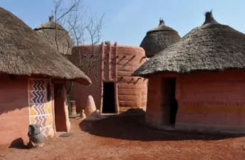
Bakone Malapa Northern Sotho Open-Air Museum, in Polokwane
Experience the warm hospitality and rich Culture of the Basotho people in the 'Bakone Malapa Museum'.
 Place
Place
Pacaltsdorp
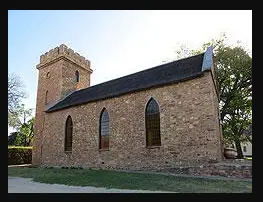
(prior to 1910)The settlement of Hooge Kraal was established in 1813 as a station of the London Missionary Society...
SAHO is free because readers fund it. Donate →