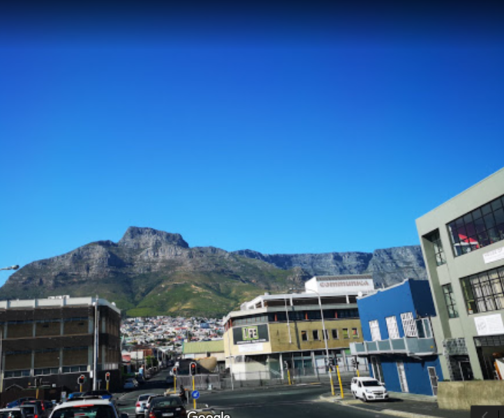
Before the clash of concrete and commerce, before the hum of machinery overtook the gentle sound of waves, the Woodstock coastline thrived as a vibrant beach until the mid-1960s. Its soft, sandy shores stretched invitingly towards Milnerton, a tranquil retreat for locals and visitors alike. However, the industrial ambitions of the late 20th century would forever alter this natural landscape, erasing its last traces with the construction of the Ben Schoeman Container Terminal, completed in 1977.

Over the centuries, Cape Town's coastline has undergone dramatic transformations, shaped by human endeavour and necessity. The once expansive ocean reached as far as Strand Street, brushing against the historic walls of the Castle of Good Hope. The area that now sits between Woodstock Beach and the bustling Victoria & Alfred Docks was historically a shallow bay known as Roggebaai, a tranquil hub that has long since been reclaimed for development as part of the city's expansion.
Initially, the city's connection to transport was forged with the construction of the first railway station, located near the Golden Acre Centre at the mouth of the Camissa River. This crucial development marked the beginning of urban sprawl, paving the way for greater infrastructure and a changing landscape.

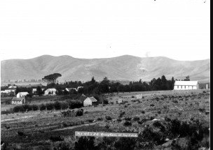
Further north, Salt River and Paarden Island once formed parts of a magnificent tidal estuary, a natural meeting point for the Liesbeek and Black Rivers. Yet, by the early 20th century, the relentless march of urbanisation led to extensive land reclamation, with these water systems reshaped to accommodate modern needs.
The canalisation of the rivers solidified by 1968 marked a poignant transition, as they surrendered their natural form to meet the demands of growing urban infrastructure.