
Place record
Seshego, a Township
- Coordinates
- -23.8490, 29.3820
- Updated
- 20 Jul 2026
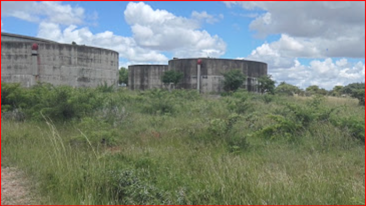
Seshego means a silo: a pit or airtight structure in which green crops are stored for future use especially when there is famine.
Location Map
Seshego, a Township
How we know this
- 01https://www.britannica.com/place/Lebowa https://www.britannica.com/place/Seshego
Last updated · 20 Jul 2026
South African History Online. (2022, February 18). Seshego, a Township . South African History Online. https://sahistory.org.za/ref/P-0151470
South African History Online (2022) 'Seshego, a Township ', South African History Online, 18 February. Available at: https://sahistory.org.za/ref/P-0151470 (Accessed: 7 October 2026).
South African History Online, Seshego, a Township [website], https://sahistory.org.za/ref/P-0151470, (accessed 7 October 2026).
"Seshego, a Township ." South African History Online, 18 Feb. 2022, https://sahistory.org.za/ref/P-0151470. Accessed 7 Oct. 2026.
South African History Online. "Seshego, a Township ." South African History Online. February 18, 2022. https://sahistory.org.za/ref/P-0151470.
Further reading
 Article
The Founding of the Economic Freedom Fighters (EFF)
 Article
 Biography
Julius Sello Malema
 Biography
Nyiko Floyd Shivambu
 Biography
Christopher “Dali” Daluxolo Mpofu

SAHO is free because readers fund it. Donate →