Three years after his arrival at the Cape, Superintendent of the London Missionary Society, Dr John Philip, paid a visit to the Eastern Cape. His aim was to purchase land to grow maize for the society’s main mission station at Bethelsdorp and to spread the gospel. For this purpose he purchased 1 427 morgen (1 619 ha) of the farm 'Wagendrift' in 1822. Two years later he founded the Hankey Mission Station. Situated at the foot of a ridge along the Klein River, a tributary of the Gamtoos, the mission was named after William Alers Hankey, secretary of the LMS. It initially housed 25 families with surnames as diverse as Windvogel, Stuurman, Dragoonder, Matroos, Konstable and Kettledas. Despite the apparent abundance of water and fertile soil the mission did not turn out to be the oasis that Philip had intended. Hankey’s inhabitants were often plagued by droughts. In 1829 James Wait started digging the first irrigation canal from the Klein River with the assistance of 50 workmen and 50 head of cattle. A year later the canal was finished and 400 acres of land could be irrigated. Philip’s eldest son, William Enowy Philip, was sent to London for his schooling but ran away from College to join the Royal Navy and later the merchant navy to become a navigator. In 1833, after an adventurous cruise on the Indian Ocean, he came back to South Africa to study surveying in Cape Town. Following his training, William accompanied his father to England where he studied for the missionary. He returned to Hankey in 1841 with his Scottish wife, Alison, on his arm. Upon his return, William was put in charge of the Hankey mission station. At the time,Hankey was experiencing a serious water shortage with the meagre crops there were being devastated by locusts. With little food to eat people started leaving the mission station. Young William was desperate to find a way of feeding the people of Hankey. It is said the he found inspiration from the natural window known as the Bergvenster, in the hill between Backhousehoek and Vensterhoek from which the valley can be seen. After a careful survey of the valley William found that the land on the Southeast side of the Vensterhoek Mountain was more than 3,65 m lower than the bed of the Gamtoos River on the Northwest side of the mountain. He could therefore irrigate the fertile soil by digging a tunnel through the mountain. William had no practical engineering experience before tackling construction of the 228-m tunnel through the mountain. Descendant of Dr John Philip, Ron Philip, later wrote of William’s undertaking: “Although William Philip was a qualified surveyor and had some knowledge of
engineering, it was all theoretical. He must have had a clear vision of what would be achieved and had tremendous courage and enthusiasm to undertake this project. His enthusiasm was not shared by everyone and he had to contend with doubt and disbelief as well as the physical aspect of penetrating the mountain. His only instrument was a sextant with which he must have been an expert after his navigational experiences on the oceans.” William’s boldness and confidence in the accuracy of his surveying is shown by the fact that he tarted work in April 1843 with two work parties, one on each side of the mountain. The labourers were all members of his congregation set to work day and night under the guidance of this man, who was at one and the same time their spiritual leader, engineer, surveyor and supervisor. The primitive methods used caused progress to be painfully slow (about 0,3 m a day). The hole in the mountain had to be dug out with picks, shovels, hammers and chisels, with all the excavated rock being carried out in baskets. Light inside the tunnel was provided by candles and lanterns. There was no ventilation and the threat of rock falls and collapse was constant. One can only imagine what it must have been like to work under these conditions. It is remarkable that even though no protective measures were taken not one injury or death is recorded on this project. Fortunately, the conglomerate encountered consisted of hard pebbles in softer matrix which made excavation with such primitive tools possible. During the project William wrote to a friend: “We work day and night on both sides to meet in the middle. The workmen for some time have heard the blows of each other, which are every day becoming distincter.” Just over a year after the start of the project, at 02:00 on the morning of 13 August 1844, the tunnel was holed through and the work parties met each other with jubilation. William described the breakthrough in a letter to his mother: “At about 2 am a shot was fired off at my bedroom window. I knew the signal – the tunnel is through. I looked out of my window and saw the messenger still running with a flaming brand towards the village, screaming as he ran. The measurements have all proved more accurate than I had reason to suspect so that my first lesson in practical engineering has been successful.” The original cross-section of the tunnel measured a little more than an average person’s height, and just under a metre in width. By how much were the parties off line where they met? It is estimated that the error in alignment was in the order of 0,8 m. It is thought that as the parties came within hearing distance of one another, the advance was by sound rather than survey. For the next 123 years, Hankey’s water supply flowed through this tunnel. The tunnel was twice extensively damaged by floods – once in 1847 and again in 1867. Both times it was repaired. On each occasion it took many months before the rockfalls had been cleared. Sadly, William did not live long to enjoy his engineering achievements. On 1 July 1845, on a calm, sunny day, William and his nephew, 11-year-old Johnny Fairbarn,crossed the Gamtoos River using a flatbottomed boat to inspect the diggings for the water channels. They returned around 13:00 but never reached the other end of the river. Their drowned bodies were found later. William was only 31 years old. On 9 July, 1845, William’s death notice appeared in the Eastern Province Herald. The journalist wrote: “The writer of this
notice examined the works in question only a few weeks before the fatal catastrophe and both himself and his fellow travellers were astonished at the magnitude ofthe enterprise, and the perseverance of its author, especially considering the nature of his material and resources. It is a labour totally unprecedented and equal, if not superior, to any of the public works in the Colony.”
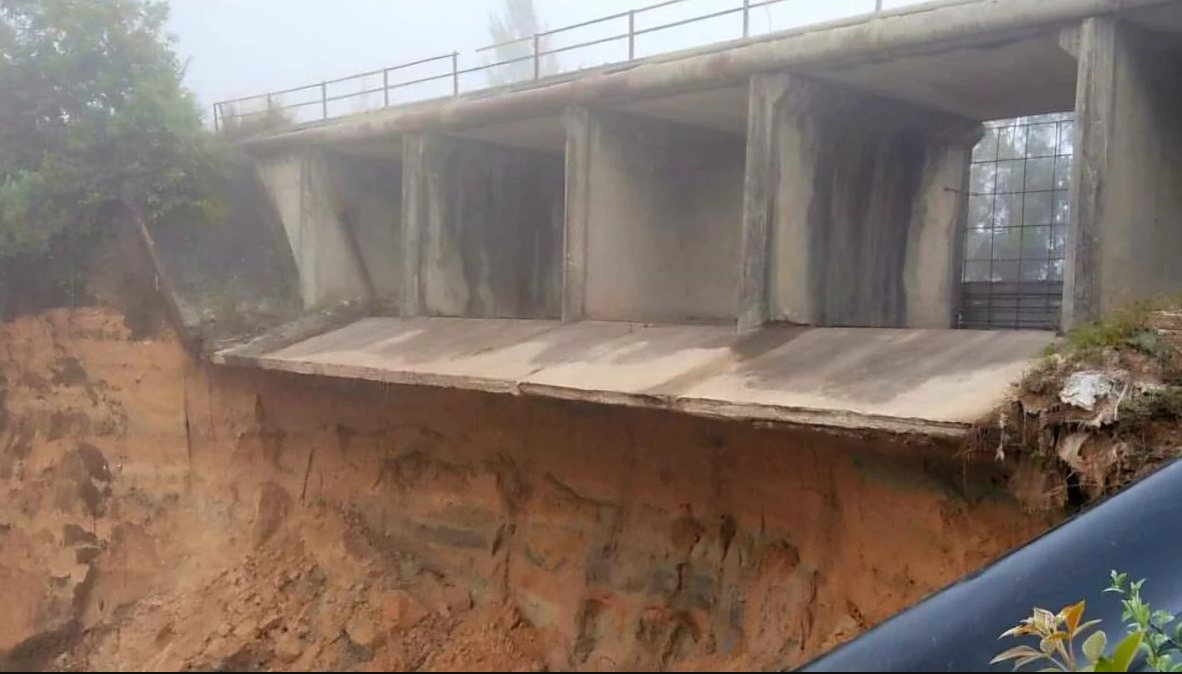
Upon completion of the Gamtoos canals in 1967, fed from the Paul Sauer (now the Kouga) Dam, all the old water works serving Hankey fell into disuse. On May 6, 1971, Minister of Water Affairs; SP Botha unveiled a plaque at the tunnel entrance, declaring it a national monument! The entrance is completely caved in!
Sources
‘South Africa’s first irrigation tunnel:The Philip Tunnel in the Gamtoos Valley’ in Civil Engineering in South Africa, November 1971. ‘Two civil engineering firsts for the Eastern Cape’ in Water, House Journal of the Department of Water Affairs, July 1979. Die Brullende Leeu Getem by GF Malan. Thanks to Gamtoos Valley Tourism and Gamtoos Irrigation Board’s Pierre Joubert for information and photographs!
It was declared a National Monument under old NMC legislation on 28 March 1969.