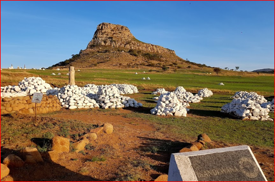
The name means: "A current in the sea where air movement causes ripples on top of the water surface and ends up influencing the nearby climatic conditions through its breeze." Msinga is a largely rural Area with 70% of its Area being Traditional Authority land held in trust by the Ingonyama Trust. The remaining 30% of land is Commercial Farm Land, all of which is located to the North of Pomeroy. Due to the rural nature of the Municipality, approximately 99% of the population lives in traditional areas. The Municipality is in the South Western part of the District Municipality Area. Although the Area has its challenges, there are Historic sites, beautiful scenery and interesting topography in some parts, suitable for cultural and eco-tourism. Furthermore, the Local communities are generally creative in arts, crafts and music (Umasikandi). Attention must be given to the formation of local partnerships for the development and marketing of the local tourism potential. To this end the Msinga Community Tourism Organisation has been established. The municipality has opportunities to develop existing ventures such as the existing game farms to the northwest of the municipality linking with the Rorke's Drift and Isandlawana Battlefields attractions, and the Tugela Biosphere to the South West of the Municipality. Rorke's Drift Rorke's Drift, situated 46 km southeast of Dundee, and is the site of one of the most famous battles of the Anglo-Zulu War. At Rorke's Drift the men were rewarded for their bravery with no less than 11 Victoria Crosses, the most number of Victoria Crosses ever to be won in a single battle. Today the centre is also a remarkable for its Zulu handicrafts. The population is largely concentrated around the Towns of Keates Drift, Pomeroy and Tugela Ferry. Regarding gender, 57.7 percent of the population are female and there is a high percentage male absenteeism in the employment group 20-64 years of age.