The City of Ekurhuleni Metropolitan Municipality is a Category A. This Municipality and covers an extensive Area from Germiston in the West to Springs and Nigel in the East, making the covered Area: 1 975 km². The former Administrations of the nine Towns in the former East Rand were amalgamated into the Metropolitan Municipality, along with the Khayalami Metropolitan Council and the Eastern Gauteng Services Council. It is one of the most densely populated Areas in the Province, and the Country.
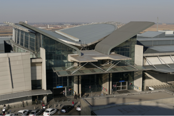
The Economy in the Region is larger and more diverse than that of many, small Countries in Africa. It accounts for nearly a quarter of Gauteng's Economy, which in turn contributes over a third of the National Gross Domestic Product. Many of the factories for production of goods and commodities are located in Ekurhuleni, often referred to as ‘Africa's Workshop'. The network of Roads, Airports, Rail Lines, Telephones, Electricity Grids and Telecommunications found in Ekurhuleni, rivals that of Europe and America. It can be regarded as the Transportation hub of the Country. It is Home to OR Tambo International Airport; South Africa's largest Railway hub; a number of South Africa's modern Freeways and Expressways; the Maputo Corridor Development; direct Rail, Road and Air links connecting Ekurhuleni to Durban; the Blue IQ projects, with linkages to the City Deep Container terminal; the planned Gautrain rapid rail link to Johannesburg and Pretoria; and the OR Tambo International Airport Industrial Development Zone.