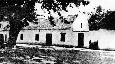
The Gateway and Walls of this property date from the end of the 18th Century and are situated on a portion of the Historic Nooitgedacht Estate, in Nooitgedacht. Because of their impressive detailing, their design has been attributed to Louis Michael Thibault, and were declared a National Monument under old NMC legislation on 14 December 1973.
A Private or Independent school for girls, in Grades 000 to 12. The School has very high Ethos of Teaching and Beliefs: "We are called to challenge the minds, feed the souls, fire the maginations and train the bodies of the girls and young women who are entrusted to us. Our school is the place where we grow their capacity for mutual and self-respect."
They prepare their Girls:" To learn and develop confidently, to build key knowledge frameworks that will stand them in good stead for the rest of their lives, to play passionately and to give generously of themselves to each other and to the wider Community". Providing opportunities that build character and encourage self-sufficiency. It is our mission to assist our Girls to open themselves up to all possibilities, to explore their unique potentials and to identify their distinctive and various abilities so that they can become their best selves. We call it ‘unlocking potential and building brilliance’ and believe that each young girl has her own measure of brilliance that needs to be unleashed for her to lead a happy and fulfilling life."
Our Means - Heritage and Faith
At the very heart of our School, lies our jewel of a Chapel. Our Christian values of Faith, Hope and Love underpin our ethos and inform the Culture of the School. The core values Respect, Integrity, Compassion and Accountability (RICA), drive daily conversations between teacher and student, colleagues, and at the peer to peer level. The School vision: “We teach not for school but for life; we train not for time but for eternity” encourages and motivates life-long learners and leaders with a mission to make a difference in the World.