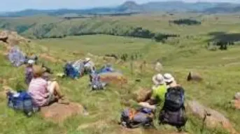
The Village of Rabula was named after the Xhosa "ukurabula"-'a term given to a child when it becomes irritable'.
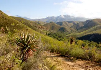
Rabula is a Farmstead and is located in Amathola District Municipality, Eastern Cape. The estimate terrain elevation above seal level is 748 Meters. Variant forms of spelling for Rabula or in other languages: 'Habula"
South African History Online. (2026, April 21). Rabula. South African History Online. https://sahistory.org.za/nso/ref/P-0013796
South African History Online (2026) 'Rabula', South African History Online, 21 April. Available at: https://sahistory.org.za/nso/ref/P-0013796 (Accessed: 22 July 2026).
South African History Online, Rabula [website], https://sahistory.org.za/nso/ref/P-0013796, (accessed 22 July 2026).
"Rabula." South African History Online, 21 Apr. 2026, https://sahistory.org.za/nso/ref/P-0013796. Accessed 22 July 2026.
South African History Online. "Rabula." South African History Online. April 21, 2026. https://sahistory.org.za/nso/ref/P-0013796.