
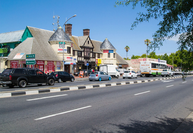
Plumstead was developed on the site of an old VOC Military Camp some 13km South of Cape Town and, by 1823, was already a growing Village. The Cape Town-Wynberg suburban Railway reached Muizenburg on 15 December 1882, and included a Railway Station at Plumstead. The fairly large Suburb of Plumstead, just South of Wynberg, divided into two by the Main Road and the Railway Line, could easily be mistaken for the English village after which it is named - if a village is possible in the heart of London’s Greenwich or Cape Town. Regarded as the ‘Cinderella’ of Wynberg and Diep River, Plumstead is filled with homes built during the 1940s and 1950s and its residents are largely pensioners and young arty types who are buying up older homes here and transforming them into modern renditions.
Place record
Plumstead
- Coordinates
- -34.0229, 18.4666
- Updated
- 20 Jul 2026
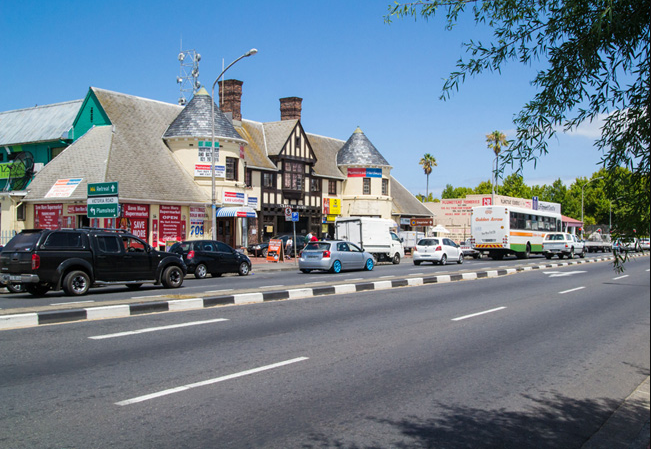
Plumstead Image source
Location Map
Plumstead
How we know this
- 01https://www.sa-venues.com/attractionswc/plumstead.php
Last updated · 20 Jul 2026
South African History Online. (2011, July 14). Plumstead. South African History Online. https://sahistory.org.za/nso/ref/P-0065939
South African History Online (2011) 'Plumstead', South African History Online, 14 July. Available at: https://sahistory.org.za/nso/ref/P-0065939 (Accessed: 22 July 2026).
South African History Online, Plumstead [website], https://sahistory.org.za/nso/ref/P-0065939, (accessed 22 July 2026).
"Plumstead." South African History Online, 14 July 2011, https://sahistory.org.za/nso/ref/P-0065939. Accessed 22 July 2026.
South African History Online. "Plumstead." South African History Online. July 14, 2011. https://sahistory.org.za/nso/ref/P-0065939.
Further reading
 Article
Cape Town the Segregated city
 Article
The Freedom struggle in Cape Town
 Article
Cape Town Timeline 1300-1997
 Article
Slave Resistance
 Article
Cape Youth Congress (CAYCO)
 Article
United Women’s Organisation (UWO)
SAHO is free because readers fund it. Donate →