
A Village situated some 32 km north of Grootfontein. it came into being in 1921, to serve a Mine producing; lead, vanadium and zinc. Which closed down in 1958. The name is said to mean 'place of climbing'.
placeREF P-0121833Revised
Place record
Abenab, Limpopo
- Coordinates
- 29.9200, -24.2090
- Updated
- 17 Apr 2020
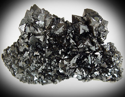
Vanadium which was Mined in Abenab
Location Map
Abenab, Limpopo
How we know this
- 01South African Place Names by Peter E. Raper
Last updated · 17 Apr 2020
South African History Online. (2016, September 14). Abenab, Limpopo. South African History Online. https://sahistory.org.za/nso/ref/P-0121833
South African History Online (2016) 'Abenab, Limpopo', South African History Online, 14 September. Available at: https://sahistory.org.za/nso/ref/P-0121833 (Accessed: 22 July 2026).
South African History Online, Abenab, Limpopo [website], https://sahistory.org.za/nso/ref/P-0121833, (accessed 22 July 2026).
"Abenab, Limpopo." South African History Online, 14 Sept. 2016, https://sahistory.org.za/nso/ref/P-0121833. Accessed 22 July 2026.
South African History Online. "Abenab, Limpopo." South African History Online. September 14, 2016. https://sahistory.org.za/nso/ref/P-0121833.
Further reading
 Place
Place
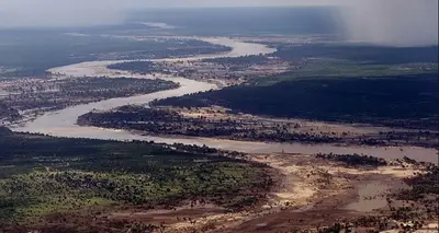
Limpopo Province
The Limpopo Province covers the Area that lies Northern most in South Africa, just South of Zimbabwe.
 Archive
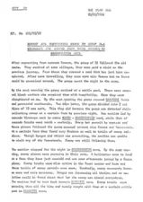
Report and information given by Group M-4 Commander Cde Kapoko from their mission in Grootfontein Area
Report by a Commander of a mission in Okavango and Namibia and the reasons for failure
 Place
Place
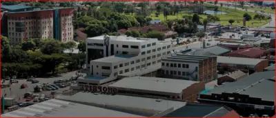
Polokwane
Is a City of 130,000 people counted in the census of 2011. It now has a Population of about about 640,000 inhabitants.
 Place
Place
Phala Phala, Game Farm
This Farm is situated about 43 km West of Bela-Bela in the Limpopo Province. It is located within the Central Bushveld.....
 Archive
SAHO is free because readers fund it. Donate →