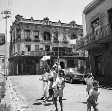
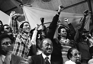
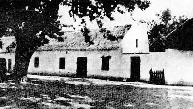
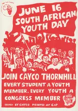
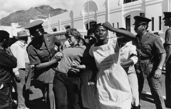
The settlement of Springfield was established sometime before December 1896, and in August 1898 its name was changed to Philippi. Philippi is one of Cape Town’s Townships formed, in the 1980s, at more-or-less the same time as Khayelitsha and Delft. It lies sandwiched between Ottery, Hanover Park, Grassy Park, Mitchells Plain and Manenberg on what is known as The Cape Flats. During apartheid it was a battleground, and today still faces huge challenges like poverty, unemployment, overcrowding and susceptibility to fire and flooding.
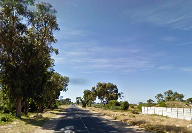
Historically Philippi was called Die Duine, or The Dunes - used, predominantly, as grazing for Farms in the area. Today it is still home to small-scale Farms that produce around 80 percent of Cape Town’s vegetables (100 000 tonnes annually), despite the immense residential growth and the pressure for space. Known as The Philippi Horticultural Area (PHA), this farming area plays a critical role in the city’s food security. But it finds itself in the midst of a serious battle to maintain its hold on the land. The farmers, for whom the vegetables are a means of income (sold to local supermarkets and to households on The Flats) are campaigning to have their produce recognised as ‘local’ and branded in shops, in order to create awareness. In the PHA is the only remaining uncovered section of the Cape Flats Aquifer - a 630 square kilometre underground water system, most of which is covered by tar and concrete. This same fresh water is apparently enough to supply Cape Town with 30 percent of its potable water needs. The city wants to develop this land for industry and housing. With the ever-increasing number of people moving into Philippi, the demand for housing is enormous, yet the increasing impact of climate change on food production and the need for water make the PHA a vital part of the city’s food security. The PHA mounted the Food & Farming Campaign and, in early 2016, won a victory when the PHA was placed under heritage protection by the Heritage Western Cape (HWC) who also refused to approve the rezone of one of the two proposed developments in the PHA.
This ruling by HWC does not bind the City or local government, and the City could still approve the application.