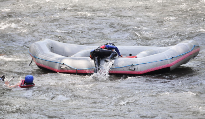
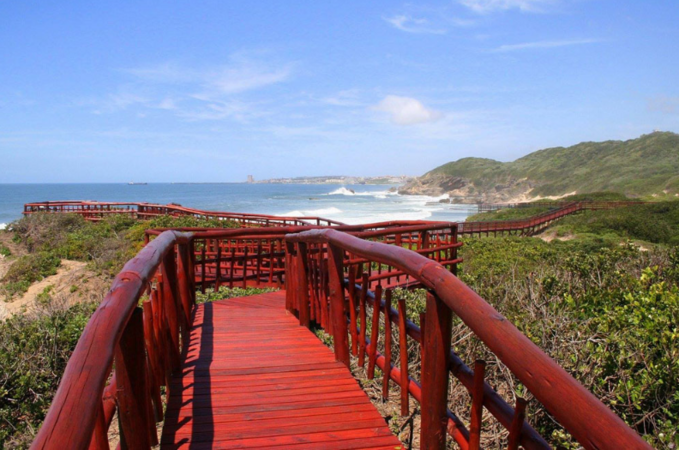
Vaal River and Dam, Gauteng, Free State, Northern Cape and Mpumalanga
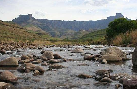
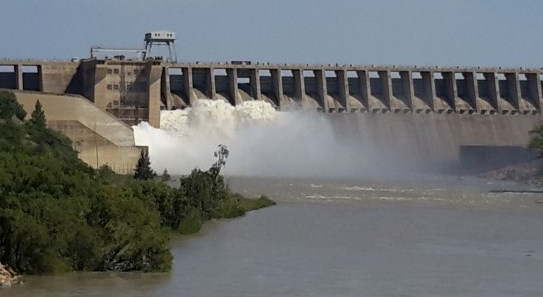
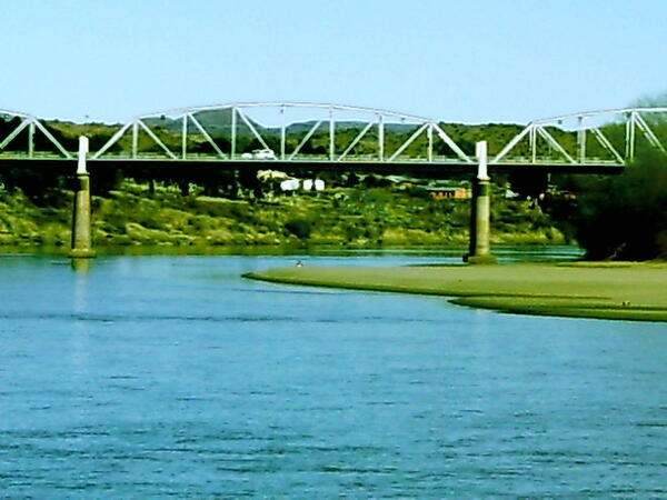
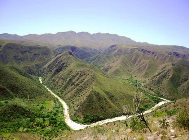
… major sources of drinking water , it lies on the Vaal River close to Vereeniging , midway between the N1 and the … meetings!) The Vaal River is the Northern tributary of the Orange River . Rising at Sterkfontein Beacon, near Breyten , … it flows 1,210 km Southwest to its confluence with the Orange River, near Douglas. The Vaal's middle section forms …