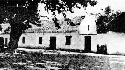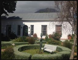
The main building, as well as some of its outbuildings, date from the last quarter of the 18th century, but subsequent additions have given it an overlay of unique Cape Dutch, Georgian and Victorian architectural features. It was declared a National Monument under old NMC legislation on 26 June 1981. The House stands on a property once called Enterprise, originally part of Coornhoop .
Transcript of National Monuments Council plaque:
Wrensch House
The land on which this house stands dates back to the earliest grants of land by Jan van Riebeeck along the Liesbeek River. This Property formed part of the Coornhoop Farm from 1741 to
its Subdivision in 1785 when it came to the possession of G Rossouw who calls it Business. A part of the house dates to before 1741. The present house is a good example of an earlier Dwelling, improved and enlarged in the Georgian Period, yet still retaining the idiom of the 18th Century Cape Dutch style. In 1853 the Property was acquired by JC Wrensch after whom it was named.