Place record
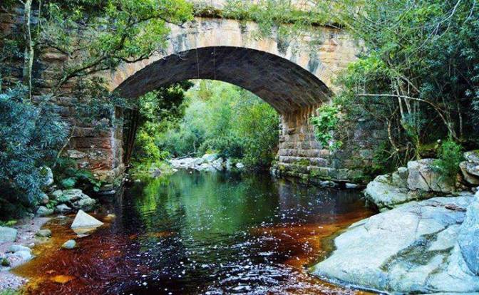
Keur River Bridge
- Coordinates
- -33.9376, 22.4221
- Updated
- 18 Apr 2019

Keur River Bridge Image source
Location Map
Keur River Bridge
How we know this
- 01<p>http://www.sahra.org.za/sahris/node/15237//gardenroutemeander.wordpress.com/2016/07/30/keur-river-bridge/<p>
Last updated · 18 Apr 2019
South African History Online. (2018, April 25). Keur River Bridge. South African History Online. https://sahistory.org.za/ref/P-0124862
South African History Online (2018) 'Keur River Bridge', South African History Online, 25 April. Available at: https://sahistory.org.za/ref/P-0124862 (Accessed: 19 October 2026).
South African History Online, Keur River Bridge [website], https://sahistory.org.za/ref/P-0124862, (accessed 19 October 2026).
"Keur River Bridge." South African History Online, 25 Apr. 2018, https://sahistory.org.za/ref/P-0124862. Accessed 19 Oct. 2026.
South African History Online. "Keur River Bridge." South African History Online. April 25, 2018. https://sahistory.org.za/ref/P-0124862.
Further reading
How Glasgow helped free Nelson Mandela
Xamdeboo was called Aberdeen, Eastern Cape
Cape Town Civic Centre and the CBD of Cape Town
Paternoster, West Coast
SAHO is free because readers fund it. Donate →